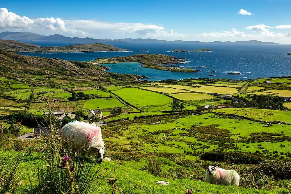
What is recorded here
In pasture, on the W side of a disused road, now a farm trackway. A Roman Catholic Church consisting of a rectangular nave (ext. dims.: 8.7m E-W; 6.05m N-S; max. int. H 2.8m) with the E end blocked off by an inserted wall; transepts and chancel indicated on the 1846 OS 6-inch map no longer survive. Random rubble sandstone construction with projecting coping on the N and S walls. Blocked round-headed window ope in the W gable end. Breach (Wth 2.8m) in the N wall allows access to the interior. Traces of plaster are evident on the interior wall. Three small ascending niches in the W end of the S wall may indicate a stairway. Two stone fonts, placed one on top of the other, rest on the ground against the inside of the N wall; the topmost is a D-shaped basin (1.6m x 0.69m), the lower one is a more primitive looking oval-shaped basin (c. 0.72m x 0.6cm).
Compiled by: Elizabeth Byrne, Ursula Egan and Sheila Ronan, Archaeological Survey Unit, University College, Cork.
Date of upload: 31 January 2011
A local church or high cross; wider significance not recorded.
The monument record does not grant public access. Check the route and ask the landowner before entering private land.
- What survives
- Recorded monument
Places near here
 SheepfoldEnclosure · 943 yd
 Killaha Castle (in Ruins)Castle, tower house · 948 yd
 Killaha Church (in Ruins)Church · 1284 yd
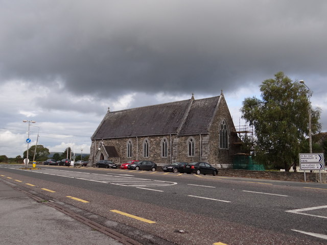 Saint Agatha's Catholic Churchchurch/chapel · 1414 yd
 CrohaneMountain / peak · 1.7 mi
 Hut site in GarriesHut site · 2.0 mi
 CoolcurtogaMountain / peak · 3.1 mi
 BarraduffMemorial · 3.6 mi
 Blue Pool Nature ReserveWood · 4.4 mi
 TooreencormickBattlefield · 4.4 mi
 Lissivigeen Stone CircleHeritage attraction · 4.6 mi
 Sheheree Bog Nature ReserveNature reserve · 4.6 mi
Other information
Photo: Credit not shown in the picture search · Rights wording not checked; contact us if this picture should be removed