What is recorded here
Lissnaguan Fort stands on a flat-topped knoll in Headfort, its southern earthwork rising two metres above the pasture to watch Killeen Mountain. Tradition claims defeated commanders had their heads spiked on this very ring after a lost battle, turning a ordinary boundary into a brutal trophy shelf. The northern entrance still faces the distant land, preserving the shape of that violent memory long after the bones disappeared.
In pasture, on a flat-topped knoll with commanding views over the surrounding countryside and S to Killeen Mountain. A circular area (36m N-S; 34m E-W) is defined by a scarp increasing in height from NW (H 0.3m) to S (H 2.3m) and then decreasing in height to the SW (H 0.3m). An overgrown linear N-S field boundary, topped with trees, truncates the SW-NW arc. Traces of a lip (Wth 2.5m; H 0.1m) along the E arc may be the remains of an enclosing element. The possible entrance (Wth 3m) is at N. The slightly uneven interior is in pasture and there is a N-S hollow in the S quadrant. The flanks of the scarp appear to have been cleared mechanically and show signs of intermittent damage NE-SE. The underlying earth is exposed in a few places. This is probably the rath recorded in the 1840s as being in the N end of the townland and known locally as 'Lissnaguan Fort' (OSNB, Aghadoe, no. 2, 32). It was also noted that according to tradition, there was 'a battle fought' at this rath and 'after the defeat of the Irish, the heads of their Commanders were spiked on this Fort' (ibid.).
Compiled by: Elizabeth Byrne, Ursula Egan and Sheila Ronan, Archaeological Survey Unit, University College, Cork.
Date of upload: 31 January 2011
The monument record does not grant public access. Check the route and ask the landowner before entering private land.
- What survives
- Recorded monument
Places near here
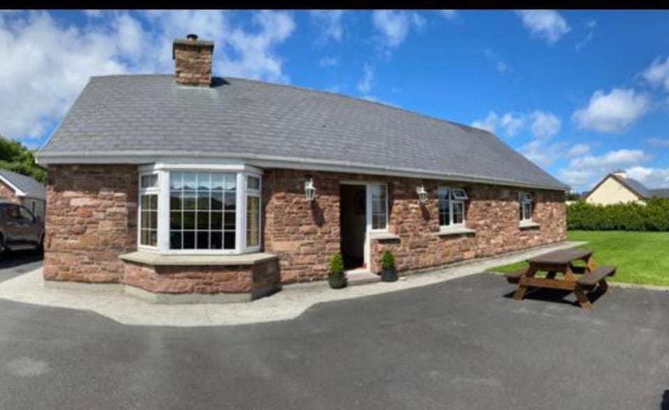 Enclosure in Cools (magunihy By.)Enclosure · 1054 yd
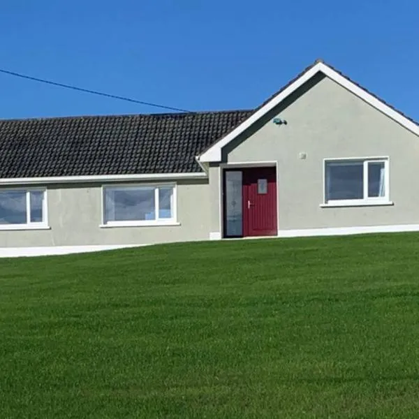 Coolbaun (Site of)Fairy fort / earthen ringfort · 1.2 mi
 BarraduffMemorial · 1.6 mi
 Six Mile Br.Bridge · 1.6 mi
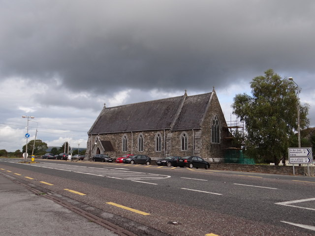 Saint Agatha's Catholic Churchchurch/chapel · 1.8 mi
 Killaha Castle (in Ruins)Castle, tower house · 2.0 mi
 Killeen MountainMountain / peak · 2.3 mi
 CoolcurtogaMountain / peak · 3.2 mi
 Lissivigeen Stone CircleHeritage attraction · 5.1 mi
 Mass RockNamed rock · 5.2 mi
 Castlelough BayBay · 6.7 mi
 Killarney First World War MemorialMemorial · 6.9 mi