What is recorded here
Situated in a low-lying position with a NE-SW stream just to the SE. This is an overgrown D-shaped platform (int. dims 26m NE-SW; 14m NW-SE; H up to 1.8m), defined by a stone spread (Wth c. 5m) and the remains of a wall (Wth 2.4m; H 0.5m). The straight side is at SE is backing on to the stream.
From the National Monuments Service (Archaeological Survey of Ireland) record LE011-041
Places near here
Photo credits
- Willie Duffin, Wikimedia Commons · CC BY-SA 2.0
- John Darcy, Wikimedia Commons · CC BY-SA 2.0
- National Inventory of Architectural Heritage
- Oliver Dixon, Geograph · CC BY-SA 2.0
- Raymond Bell, Geograph · CC BY-SA 2.0
- Willie Duffin, Geograph · Creative Commons Attribution-ShareAlike 2.0
- Richard Webb, Wikimedia Commons · CC BY-SA 2.0
- Michael Murtagh, Geograph · CC BY-SA 2.0
- NiallPFlynn, Wikimedia Commons · CC BY-SA 4.0
- Hollywelltrees, Wikimedia Commons · CC BY-SA 4.0
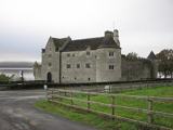 Parke's CastleHeritage attraction · 1.6 mi
 CastleCastle, tower house · 1.6 mi
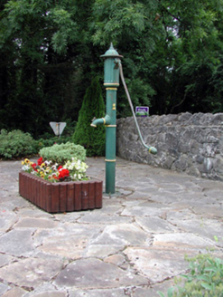 water pump2.0 mi
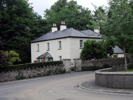 Drumlease HouseHouse · 2.0 mi
 Trawane BayBay · 2.6 mi
 InnisfreeIslet · 2.7 mi
 Grave YardGraveyard · 3.2 mi
 BenboMountain / peak · 3.2 mi
 Keelogyboy Mountain ne TopMountain / peak · 3.5 mi
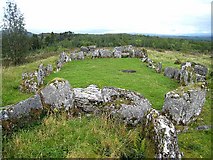 Court Tomb TrailWalking route · 3.5 mi
 Giants GraveCourt tomb · 3.7 mi
 Church IslandIslet · 4.0 mi
More archaeology and monuments in County Leitrim · All of County Leitrim

What do you know about this place?Tap to add a comment or ask a question