What is recorded here
Situated in gently undulating pasture, on a natural rise with good views in all directions. Monument, depicted on the 1840 OS 6-inch map as a circular enclosure (diam. c. 35m) covered in trees, has been levelled but is still evident as a sub-oval area (c. 30m E-W; c. 33m N-S) defined by a scarped edge (Wth 2m; H 0.3m except at NW where the scarp has been truncated by a field boundary. The interior slopes down gently to the SW.
Compiled by: Denis Power
Date of upload: 31 May 2013
A local fairy fort (ringfort/rath); wider significance not recorded.
The monument record does not grant public access. Check the route and ask the landowner before entering private land.
- What survives
- Recorded monument
Places near here
 Mound in RoxboroughMound · 74 yd
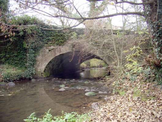 Roxborough Bridgebridge · 397 yd
 Ballyclogh Househouse · 600 yd
 CastleCastle, unclassified · 731 yd
 Enclosure in RoxboroughEnclosure · 1151 yd
 Castle (in ruins)Castle, tower house · 1.5 mi
 Fountain SculptureHeritage attraction · 4.3 mi
 Visitor CentreVisitor information · 4.3 mi
 Campus MapVisitor information · 4.3 mi
 Graveyard in AbingtonGraveyard · 8.3 mi
 Enclosure in Ballysheedy EastEnclosure · 1.0 mi
 Fulacht fia in DooradoyleFulacht fia · 1.0 mi