What is recorded here
Remains of mill named on 1842 OS 6-inch map. Partially collapsed rectangular structure (int.: c. 11.7m N-S; 11.65m E-W). Wheel pit (Wth 1.23m) along E wall housed a breastshot waterwheel. Wide ledge (H 0.8m) along internal N wall. Structure extended to S. Addition projects from N wall.
From the National Monuments Service (Archaeological Survey of Ireland) record CO088-054
The monument record does not grant public access. Check the route and ask the landowner before entering private land.
- What survives
- Recorded monument
Places near here
Photo credits
- National Inventory of Architectural Heritage
- Yosemite, Wikimedia Commons · CC BY-SA 3.0
- Sitomon, Wikimedia Commons · CC BY-SA 2.0
- DeFacto, Wikimedia Commons · CC BY-SA 4.0
- Andreas F. Borchert, Wikimedia Commons · CC BY-SA 4.0
- Tim FitzGerald, Geograph · CC BY-SA 2.0
- John M, Geograph · CC BY-SA 2.0
- Guliolopez, Wikimedia Commons · CC BY-SA 4.0
- Charles Vallancey, Wikimedia Commons · Public domain
- Guliolopez, Wikimedia Commons · CC BY-SA 3.0
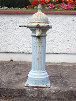 water pump270 yd
 sign post325 yd
 Japanese cedar1230 yd
 European Yew1346 yd
 Round Tower1.9 mi
 St Colemans CathedralCathedral · 2.0 mi
 Ballybrannigan BeachBeach / strand · 4.2 mi
 InchBeach / strand · 4.6 mi
 Titanic Memorial GardenHeritage attraction · 4.8 mi
 Cove FortCastle · 4.8 mi
 Camden Fort MeagherHeritage attraction · 6.0 mi
 Roches PointHeadland · 6.1 mi
More historic places in County Cork · All of County Cork
What do you know about this place?