
What is recorded here
Round Tower stands across the road from Cloyne cathedral, a seven-storey circular stone column rising thirty metres with wooden floors and ladders inside. Its top gained a vaulted roof and battlements in 1748 or 1749 after lightning struck it, while a bell marked Sheridan Dublin maker 1857 still hangs where local memory once tied it to the cathedral. The door faces east on the first floor, and a possible ogham stone may be buried in its jamb, giving the plain tower a hidden older voice.
Across road from Cloyne cathedral (CO088-0190 ), set back from street line by low wall. Circular tower (H 30m; diam. at base 5.2m; diam. at 7th floor4m) of seven storeys with basement (Barrow 1979, 67-9). Two offset foundations courses rest on bedrock. Square-headed door at 1st floor level, facing E. Wooden floors and ladders at every level. One square-headed window at each level except angle-headed window at 5th floor level and 4windows at 7th floor level. Bell at 7th floor level with inscription 'Sheridan Dublin maker 1857' (Barrow ibid); tower locally termed "the Steeple" and traditionally hung bell of cathedral (Caulfield 1882, 17).Vaulted roof and battlements apparently added 1748/9 when lightning strucktop of tower (Caulfield ibid, 31-2). No early historical mentions of tower which Barrow considers 'gives every indication of early construction (ibid., 69); he also notes possible ogham stone reused on jamb of door (ibid., 67).
The above description is derived from the published 'Archaeological Inventory of County Cork. Volume 2: East and South Cork' (Dublin: Stationery Office, 1994). In certain instances the entries have been revised and updated in the light of recent research.
Date of upload/revision: 14 January 2009
Built in the 9th or 10th century, the Round Tower at Townparks is a typical example of early medieval Irish architecture, associated with the monastic site of Cloyne. It is significant as a rare surviving structure linked to the ecclesiastical history of the region.
The monument record does not grant public access. Check the route and ask the landowner before entering private land.
- What survives
- Recorded monument
Places near here
 St Colemans CathedralCathedral · 74 yd
 Saint Colman's Cathedralchurch/chapel · 77 yd
 store/warehousestore/warehouse · 79 yd
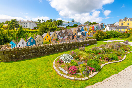 IndicatedStructure · 122 yd
 CastleCastle, tower house · 138 yd
 PohutukawaPohutukawa · 1.1 mi
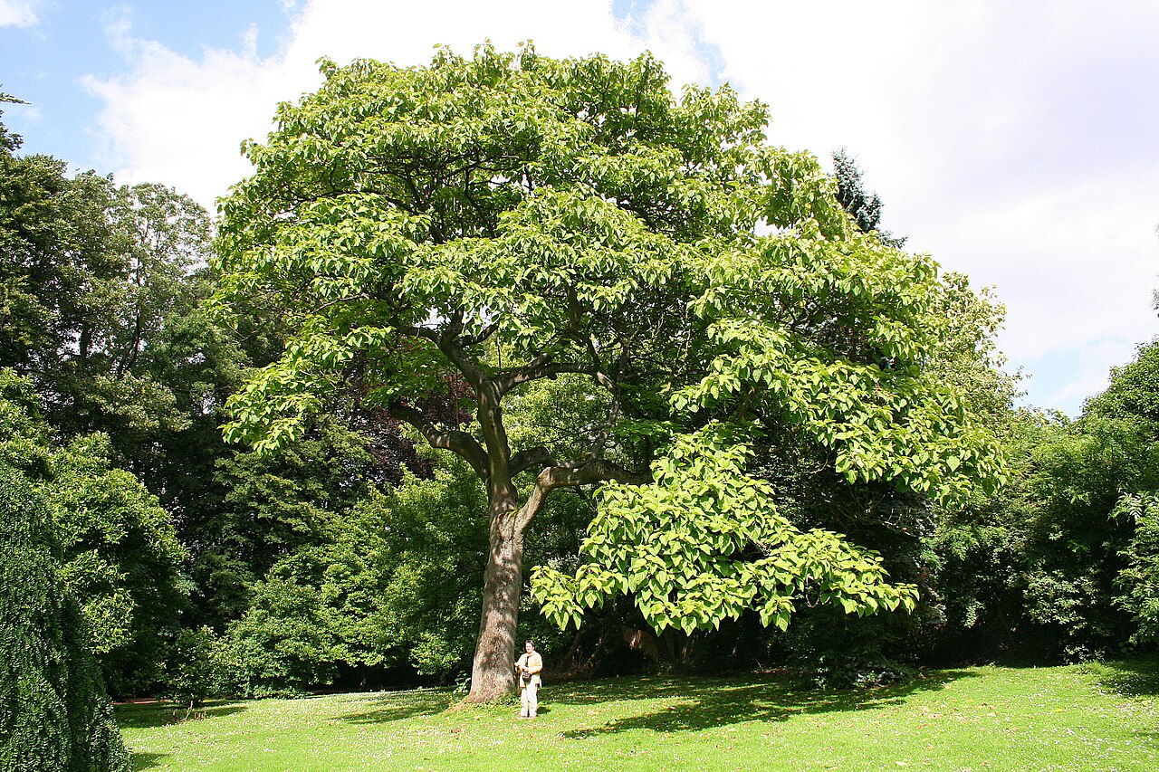 PrincesstreePrincesstree · 1.2 mi
 Garrankinnefeake GraveyardRuins · 2.8 mi
 Castle (in Ruins)Castle, tower house · 2.9 mi
 Edward BransfieldMemorial · 3.2 mi
 Ballycroneen BeachBeach / strand · 3.7 mi
 Noel Collins BridgeVisitor information · 3.8 mi
Other information
Photo: DeFacto · CC BY-SA 4.0