
What is recorded here
In the NE quadrant of the graveyard (CO088-019005-) surrounding Cloyne Cathedral (CO088-019006-). A plan of 1743 (Caulfield 1882, facing p. 30) shows the remains of a small rectangular structure (long axis E-W), with a pathway running through it, near the NE corner of the graveyard; according to Caulfield (ibid., 31), this had 'been traditionally called the "Fire House", and said to be the remains of a pagan structure'. Coleman (1910, 142) notes tradition that there 'were preserved the relics of St. Colman' until 'taken up and removed, and the building nearly razed to the ground' in the 18th century. Another tradition associates it with a 'Sacred Fire such as that which was kept up by the Nuns of St. Brigid in Kildare's Holy Shrine' (ibid.). All that appears to survive of this structure is a featureless section of walling (H c. 0.45m), apparently the E wall (L 6m), with short returns to W at either end; now bordering recent grave plots.
The above description is derived from the published 'Archaeological Inventory of County Cork. Volume 2: East and South Cork' (Dublin: Stationery Office, 1994). In certain instances the entries have been revised and updated in the light of recent research.
Date of upload/revision: 14 January 2009
The monument record does not grant public access. Check the route and ask the landowner before entering private land.
- What survives
- Recorded monument
Places near here
 St Colemans CathedralCathedral · 66 yd
 Saint Colman's Cathedralchurch/chapel · 72 yd
 Round TowerRound tower · 122 yd
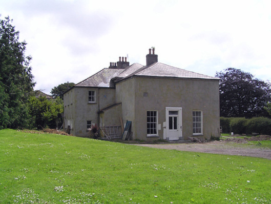 Cloyne Housebishop's palace · 128 yd
 CastleCastle, tower house · 193 yd
 PohutukawaPohutukawa · 1.2 mi
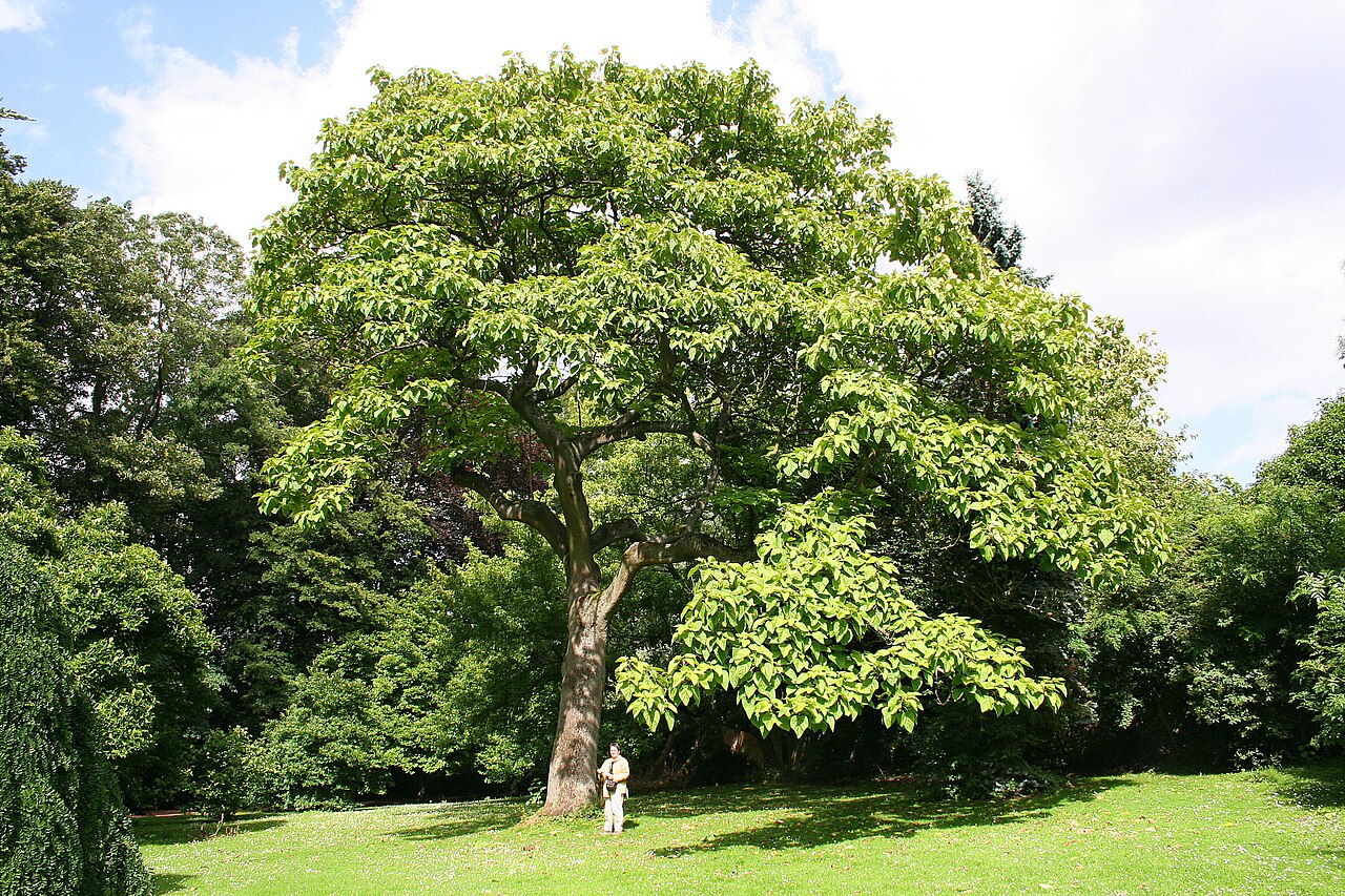 PrincesstreePrincesstree · 1.2 mi
 Castle (in Ruins)Castle, tower house · 2.9 mi
 Garrankinnefeake GraveyardRuins · 2.9 mi
 Edward BransfieldMemorial · 3.2 mi
 Ballycroneen BeachBeach / strand · 3.7 mi
 Noel Collins BridgeVisitor information · 3.9 mi
Other information
Photo: Credit not shown in the picture search · Rights wording not checked; contact us if this picture should be removed