What is recorded here
In forestry; indicated on 1902 OS 6-inch map as small circular enclosure (diam. c. 15m). No visible surface trace.
See Excavations 2004, 68, no. 333
The above description is derived from the published 'Archaeological Inventory of County Cork. Volume 2: East and South Cork' (Dublin: Stationery Office, 1994). In certain instances the entries have been revised and updated in the light of recent research.
Date of upload/revision: 14 January 2009
The monument record does not grant public access. Check the route and ask the landowner before entering private land.
- What survives
- Recorded monument
Places near here
 IndicatedMill, corn · 145 yd
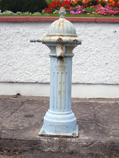 water pumpwater pump · 236 yd
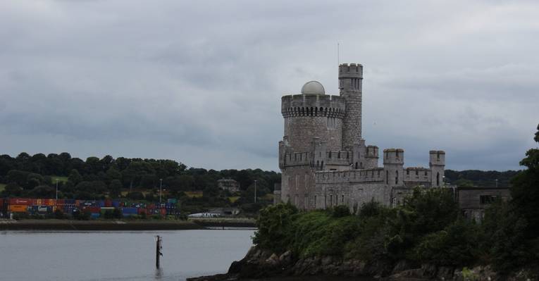 Fulacht fia in CastlemaryFulacht fia · 583 yd
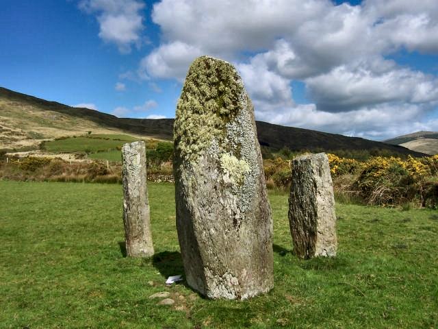 Megalithic structure in CastlemaryMegalithic structure · 1011 yd
 Japanese cedarJapanese cedar · 1087 yd
 European YewEuropean Yew · 1203 yd
 Garrankinnefeake GraveyardRuins · 1753 yd
 (Site of) CastleCastle, unclassified · 1.4 mi
 CastleCastle, tower house · 1.8 mi
 US Naval Air Station USNAS QueenstownHeritage attraction · 2.5 mi
 Site of old schoolHeritage attraction · 2.7 mi
 Graveyard in AghadaGraveyard · 2.8 mi
Other information
Photo: Credit not shown in the picture search · Rights wording not checked; contact us if this picture should be removed