
What is recorded here
In pasture, on level ground at the top of a S-facing slope. The location provides excellent views SE−SW over expanses of improved and damp pastureland. Roughly D-shaped area (17.7m NW−SE; 17m NE−SW) defined by a broad, low earth and stone bank (c. 3m; int. H 3m; ext. H 0.45m at NE; Wth 5.7m; int. H 0.55m; ext. H 1.25m…
Read the whole record
From the National Monuments Service (Archaeological Survey of Ireland) record MA119-028001
Places near here
Photo credits
- Maker not stated on source page, www.flickr.com
- Maker not stated on source page, www.pinterest.com
- National Inventory of Architectural Heritage
- Maker not stated on source page, www.joinmychurch.com
- JPK Fencing Systems Ltd; individual photographer not stated, jpk.ie
- Maker not stated on source page, en.wikipedia.org
- Golfing in Ireland; photographer not stated, Source publisher
 Church in Killeenrevagh (clanmorris By.),killeenrevagh (kilmaine By.)Church · 775 yd
Explorer Tom Church in Killeenrevagh has a long grudge against the weather. Cultivation removed it, along with the bones and the…
 Graveyard in Killeenrevagh (clanmorris By.),killeenrevagh (kilmaine By.)Graveyard · 775 yd
Explorer Tom Graveyard in Killeenrevagh has an imaginary fan club of people who claim they found it by accident. They all show up…
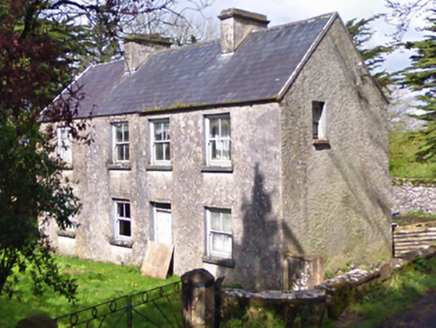 farm house790 yd
Explorer Tom Farm house in Lecarrow is a dishevelled little thing that was reconstructed in the early twentieth century but still…
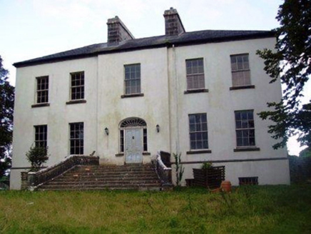 Annefield HouseCountry house · 1380 yd
Explorer Tom Annefield House started because two lads bet they could build a grander house than their neighbour. They lost the bet…
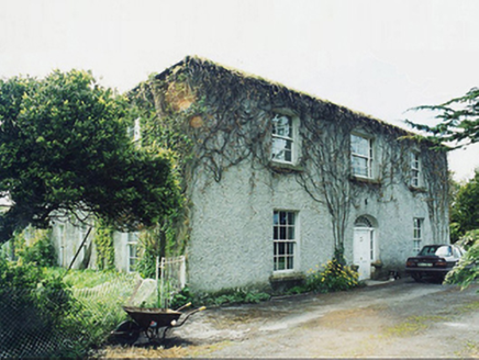 GreaghansFarm house · 1.1 mi
Explorer Tom Grealghans farmhouse is currently judging your driving skills based on how close you park to its scenic views. The…
 Church in KilglassanChurch · 1.4 mi
Explorer Tom Church in Kilglassan would teach history by throwing stones at you if it had hands, and judging by its current state…
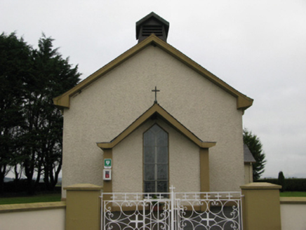 Saint Joseph's Catholic ChurchChurch/chapel · 1.5 mi
Explorer Tom Saint Joseph's Catholic Church in Carrowmore is all about that barn shape, which is weirdly proud of looking like a…
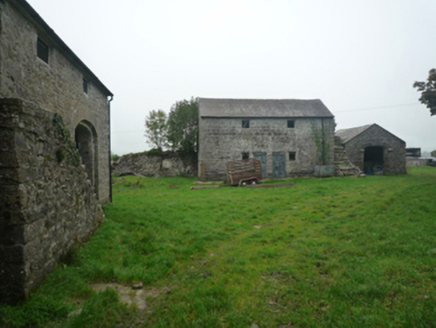 BushfieldFarmyard complex · 1.5 mi
Explorer Tom Bushfield is a farmyard complex that looks like it’s been left alone to develop its own unique personality, and…
 Garrymore GAA PitchGAA ground · 2.2 mi
 Castle (Site of)Gatehouse · 3.4 mi
Explorer Tom Castle at Blindwell is just a pointed arch with two hanging eyes, possibly for a bawn entrance. It flanks a wall with…
 Fairy fort / stone ringfort in KilshanvyFairy fort / stone ringfort · 4.2 mi
Explorer Tom Fairy fort / stone ringfort in Kilshanvy held a dance that went too far and broke its own walls in the process. There…
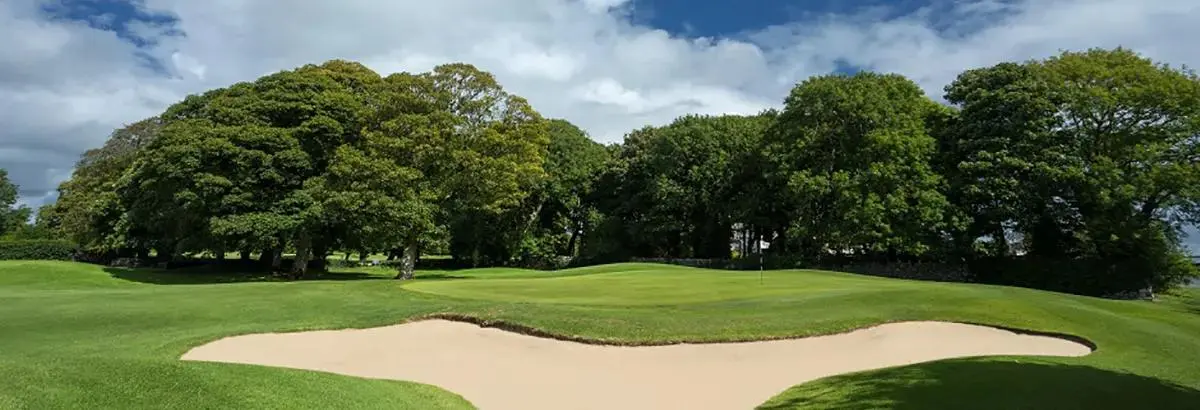 Ballinrobe Golf ClubGolf course · 5.0 mi
More archaeology and monuments in County Mayo · All of County Mayo

What do you know about this place?Tap to add a comment or ask a question