What is recorded here
Indicated is a crannog in Rockingham Demesne (boyle By., Rockingham.ed), County Roscommon, Ireland. The 1837 Ordnance Survey map marked it as a small island in flat marshy ground just south of Fin Lough. Today an oval overgrown area, twenty-eight metres long and eighteen metres wide, rises slightly above the surrounding land.
Marked as a small island (diam. c. 10m) on the 1837 ed. of the OS 6-inch map, and situated in flat marshy ground just S of the present S shore of Fin Lough (dims c. 500m E-W; c. 200-300m N-S). Oval overgrown area (dims 28m N-S; 18m E-W; H 0.1-0.2m) raised slightly above the surrounding land.
Compiled by: Michael Moore
Date of upload: 24 August 2010
The monument record does not grant public access. Check the route and ask the landowner before entering private land.
- What survives
- Recorded monument
Places near here
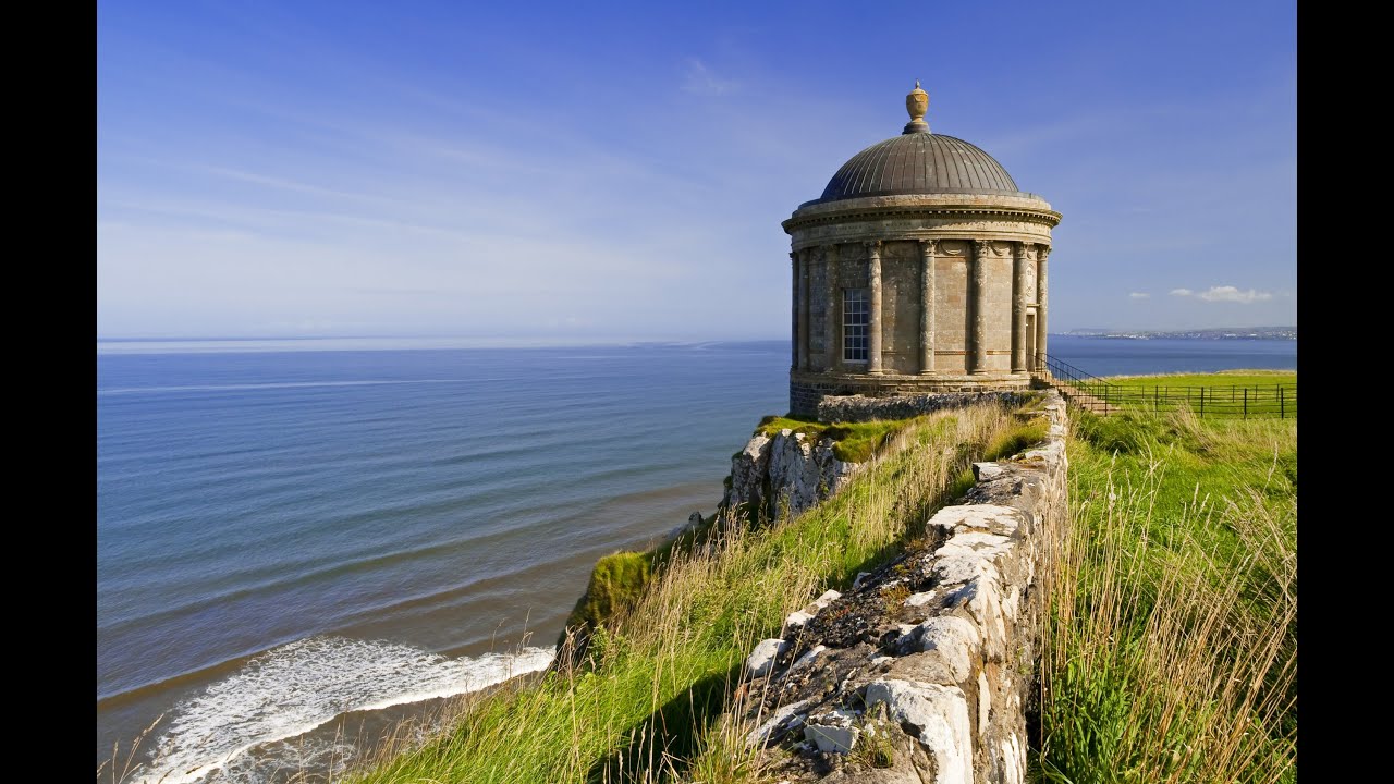 IndicatedFairy fort / stone ringfort · 421 yd
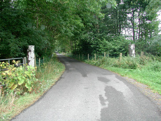 Rockingham Housedemesne walls/gates/railings · 696 yd
 Kiltidean Church and Burial Ground (Site of)Church · 850 yd
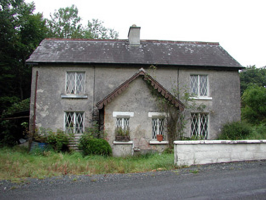 worker's houseworker's house · 1020 yd
 Longford HillMountain / peak · 1206 yd
 Errironagh WoodForest · 1530 yd
 Castle IslandIslet · 1.1 mi
 Horse-chestnutHorse-chestnut · 1.2 mi
 Green IslandIslet · 1.2 mi
 Lough Key Forest ParkWood · 1.5 mi
 Erris BayBay · 2.1 mi
 Moylung Castle (in ruins)Castle, unclassified · 3.4 mi