What is recorded here
On top of a hillock which was called Knockmelliagh (D'Alton 1845, 78-9). Circular grass-covered earthen mound (diam. of base 32m; H 5.5-6m) defined by a fosse (Wth of top 3.3m at S to 9.5m at E; D 0.15-0.3m) NE-S-NW, which cannot be traced NW-NE (max. ext. diam. c. 47m). It has a flat summit (diam. 6.2-6.5m).
See the attached aerial (001) and ground views (002), both taken from the S.
Compiled by: Michael Moore
Date of revised upload: 24 August 2010
A circular earthen mound with fosse, likely a Bronze Age ring barrow; significance lies in its structural complexity and potential funerary or ceremonial role in the prehistoric landscape.
The monument record does not grant public access. Check the route and ask the landowner before entering private land.
- What survives
- Recorded monument
Places near here
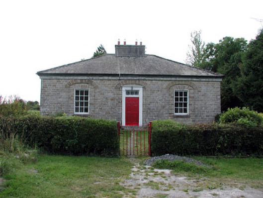 worker's houseworker's house · 263 yd
 Embanked enclosureFairy fort / earthen ringfort · 437 yd
 Ardcarn Housecountry house · 712 yd
 IndicatedFairy fort / earthen ringfort · 746 yd
 Longford HillMountain / peak · 1556 yd
 Horse-chestnutHorse-chestnut · 1.2 mi
 Lough Key Forest ParkWood · 1.2 mi
 Western RedcedarWestern Redcedar · 1.3 mi
 Castle IslandIslet · 1.4 mi
 Green IslandIslet · 1.6 mi
 Erris BayBay · 1.8 mi
 Moylung Castle (in ruins)Castle, unclassified · 2.4 mi