What is recorded here
Situated on a broad low hill in the valley of the S-N Ballymoat stream. The parish church of Reisk (WA017-046001-) is within a rectangular graveyard (dims. c. 40m N-S; c. 40m E-W) defined by a stone-faced earthen bank. A circular conglomerate font (WA017-046003-) is in the graveyard. (Power 1895b, 162-4)
Power, Rev. P. (1895b) The ancient ruined churches of Waterford. WAJ. 1, 133-41, 152-72; 247-53.
Compiled by: Michael Moore
Date of upload/revision: 06 January 2011
A local ancient tomb; wider significance not recorded.
The monument record does not grant public access. Check the route and ask the landowner before entering private land.
- What survives
- Recorded monument
Places near here
 Font in ReiskFont · 19 yd
 CairnCairn, unclassified · 559 yd
 Mote or TumulusCastle, motte · 1.2 mi
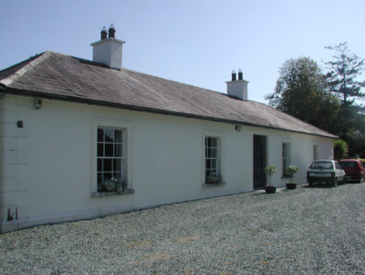 Pembrokestown Housecountry house · 1.3 mi
 Ballyscanlon HillMountain / peak · 1.5 mi
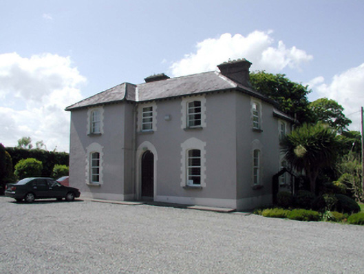 presbytery/parochial/curate's housepresbytery/parochial/curate's house · 1.5 mi
 Fenor BogNature reserve · 1.7 mi
 Cullen Castle (in ruins)Castle, tower house · 1.8 mi
 Sugar Loaf RockMountain / peak · 2.4 mi
 Doneraile WalkWalking route · 3.3 mi
 Mount Congreve GardensHeritage attraction · 3.6 mi
 Monterey CypressMonterey Cypress · 3.6 mi