What is recorded here
Fort described in 1943 as following; 'The first edition of the O.S. Map shows a fort beside the road from Herbertstown to Limerick. The fort is not shown on the edition of 1927. On the ground there is now no trace of it and no one can remember its existence' (O'Kelly 1942-3, 183). The outline of the monument is not visible today on Digital Globe aerial photographs. Depicted as a quarry or pond feature on the 1840 ed. OS 6-inch map and not depicted as an antiquity
Compiled by: Caimin O'Brien
Date of upload: 27 February 2020
Fort described in 1943 as following; 'The first edition of the O.S. Map shows a fort beside the road from Herbertstown to Limerick. The fort is not shown on the edition of 1927. On the ground there is now no trace of it and no one can remember its existence' (O'Kelly 1942-3, 183). The outline of the monument is not visible today on Digital Globe aerial photographs. Depicted as a quarry or pond feature on the 1840…
From the National Monuments Service (Archaeological Survey of Ireland) record LI023-079
The monument record does not grant public access. Check the route and ask the landowner before entering private land.
- What survives
- Recorded monument
Places near here
Photo credits
- National Inventory of Architectural Heritage
- Oliver Dixon, Geograph · CC BY-SA 2.0
- Martin Richard Phelan, Geograph · CC BY-SA 2.0
- deiseal, Wikimedia Commons · CC BY-SA 2.0
- Algirdas at Lithuanian Wikipedia, Wikimedia Commons · Public domain
- David Hawgood, Wikimedia Commons · CC BY-SA 2.0
- Ruhrfisch, Wikimedia Commons · CC BY-SA 4.0
- No machine-readable author provided. Christian1965~commonswiki assumed (based on copyright claims)., Wikimedia Commons · Public domain
- Dylan Moore, Geograph · CC BY-SA 2.0
- Garry Dickinson, Geograph · CC BY-SA 2.0
OultinedBawn · 402 yd Longford BridgeBridge · 883 ydLake ViewHouse · 1108 ydThe SpectaclesVisitor information · 1429 ydLough Gur Heritage CentreVisitor information · 1512 ydBolin IslandCrannog · 1668 ydPedunculate Oak1.0 miStone CirclesStone circle · 1.7 miGrange Stone CircleArchaeological place · 1.8 miLough GurVisitor information · 1.8 miKnockainyMountain / peak · 4.3 miCastleCastle, motte and bailey · 6.5 mi
 Longford BridgeBridge · 883 yd
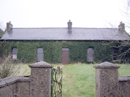 Lake ViewHouse · 1108 yd
 The SpectaclesVisitor information · 1429 yd
 Lough Gur Heritage CentreVisitor information · 1512 yd
 Bolin IslandCrannog · 1668 yd
 Pedunculate Oak1.0 mi
 Stone CirclesStone circle · 1.7 mi
 Grange Stone CircleArchaeological place · 1.8 mi
 Lough GurVisitor information · 1.8 mi
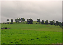 KnockainyMountain / peak · 4.3 mi
 CastleCastle, motte and bailey · 6.5 mi
More archaeology and monuments in County Limerick · All of County Limerick
What do you know about this place?