What is recorded here
Indicated is a forgotten earthen ringfort in County Mayo, visible on the 1838 map but erased from the 1931 edition. Its oval platform sits on a ridge above wet ground, bounded by a steep scarp that reaches nearly five metres on the northeast side. The western wall drops to one metre, suggesting a hidden entrance now lost beneath pasture and time.
In pasture, utilising a rise, with a steep fall of ground falls to NNE into a hollow of wet ground.
This rath is shown as an embanked enclosure on the 1838 OS 6-inch map; it is not shown on the 1931 edition. Oval platform (25.5m NW−SE; 21.7m NE−SW) defined by a scarp (H 1.8m at SW, 4.6m at NE; Wth slope 2.6m at SW, 2.5m at NE) which conforms to the contours of the ridge at N−SE. The interior has a slight rise in the centre, with a slope down from there to S. There is no clearly defined entrance –it may have been on the SE side, which faces the spine of the ridge, but is truncated by a straight field fence on a NE−SW axis. There is a low section of the scarp at W (H 1m) but no clearly defined gap.
There is another rath (MA071-189----) 135m to W.
Compiled by: Jane O’Shaughnessy
Date of upload: 14 September 2021
The monument record does not grant public access. Check the route and ask the landowner before entering private land.
- What survives
- Recorded monument
Places near here
 IndicatedFairy fort / earthen ringfort · 735 yd
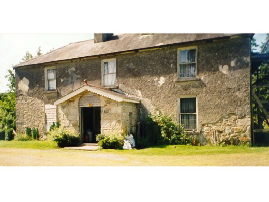 Killedan Housefarm house · 1060 yd
 Killedan ChurchChurch · 1.1 mi
 CrossCross · 1.9 mi
 I'll Send You The FareMemorial · 2.2 mi
 Thorn CaveCave · 2.4 mi
 Kiltimagh MuseumMuseum · 2.4 mi
 Carrowbeg WoodWood · 3.0 mi
 CashlankeeghCastle, unclassified · 3.3 mi
 Castle in RuinsCastle, unclassified · 4.7 mi
 Michael DavittMemorial · 5.2 mi
 Brabazon WoodsForest · 5.5 mi