
What is recorded here
In a forest, on a S-facing slope. An oval area (c. 55m N-S; c. 40m E-W) enclosed by a loosely constructed stone wall (Wth c. 2m; H 1m). The interior slopes gently down to S and is densely planted with trees and covered by overgrowth. In the W half of the interior, stone footings (Wth 1m; H 0.3m) extend to SE from the enclosing wall at W and curve for a short distance to NE, possibly the remains of a structure or an internal division. An arc of stones (C c. 4m) in the S end of the interior may also be the remains of a structure. According to local information, the field is known as the 'blood pound'. Remnants of a field boundary wall (SL019-201001-) extend to W and then to SW but are difficult to trace because of the forest plantation.
The above description is derived from the published 'Archaeological Inventory of County Sligo' compiled by Ursula Egan, Elizabeth Byrne, Mary Sleeman with Sheila Ronan and Connie Murphy (Dublin Stationery Office, 2005).
Date of upload: 18 January 2008
A local fairy fort (ringfort/rath); wider significance not recorded.
The monument record does not grant public access. Check the route and ask the landowner before entering private land.
- What survives
- Recorded monument
Places near here
 Enclosure in RathoseyEnclosure · 513 yd
 DoomoreMountain / peak · 1316 yd
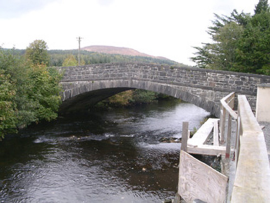 bridgebridge · 1395 yd
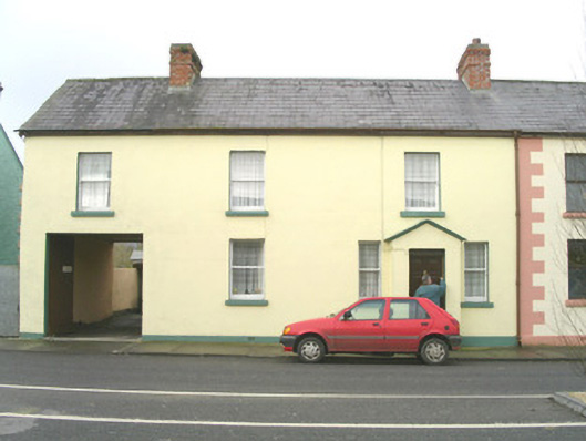 court housecourt house · 1539 yd
 Tullaghan HillMountain / peak · 1.1 mi
 Tullaghan CastleCliff-edge fort · 1.1 mi
 Moymlough Castle (in Ruins)Castle, tower house · 2.0 mi
 RinnatalleenHeadland · 2.5 mi
 European ashEuropean ash · 2.6 mi
 Derinch PointHeadland · 2.7 mi
 Bawn in Tanrego WestBawn · 3.1 mi
 Giant's GraveArchaeological place · 3.6 mi
Other information
Photo: Credit not shown in the picture search · Rights wording not checked; contact us if this picture should be removed