What is recorded here
In improved, undulating pasture. Many of the field boundaries associated with two enclosures (TS059-093002- and TS059-093003-) have been removed. These field boundaries are depicted on both the 1st (1840) and later (1904) edition OS 6-inch map. The remains of linear depressions may represent drainage ditches flanking former field boundaries. Portions of the field system are evident on an aerial photograph (GSI R.438/7, 16/04/1974).
Compiled by: Jean Farrelly
Date of upload: 26 August 2011
The monument record does not grant public access. Check the route and ask the landowner before entering private land.
- What survives
- Recorded monument
Places near here
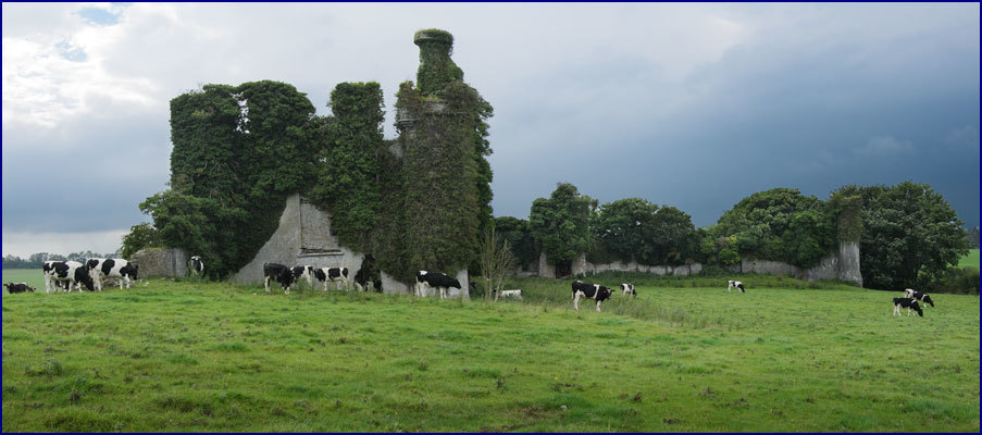 Enclosure in Rathneaveen (ormond)Enclosure · 158 yd
 LisnaboolaEnclosure · 1094 yd
 Soloheadbeg Ambush SiteMemorial · 1494 yd
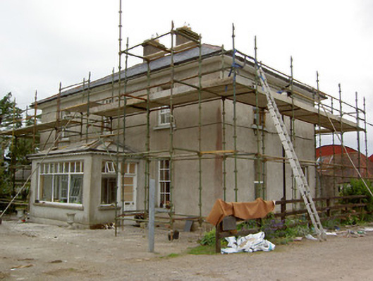 Greenrath Househouse · 1530 yd
 CastleCastle, unclassified · 1547 yd
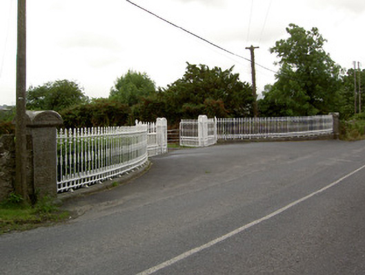 Kingswell Housegates/railings/walls · 1559 yd
 MoatCastle, motte and bailey · 1.0 mi
 Soloheadbeg Ambushambush · 1.4 mi
 I.R.A. 3rd. Tipperary Brigade MemorialMemorial · 1.6 mi
 It's a long way to TippereryHeritage attraction · 1.7 mi
 European ashEuropean ash · 2.6 mi
 The RockViewpoint · 4.2 mi