What is recorded here
Large, slightly raised subcircular area (83m N–S; 94.7m E–W) defined by a scarp (H 1.5m at E, 1.25m at W; H 0.5m at N), which retains a hint of an internal rim in parts. At SE–S where it has been incorporated into a later field fence, the scarp is topped by a dilapidated bank of earth and stone, and a small water tank is set into the bank. Immediately outside the scarp on the SW arc there is a very shallow depression (Wth c. 4m) bordered on its external edge by a slight rise; these features may be the remains of a fosse and external bank. The location of the original entrance is unclear. There are several narrow breaks in the scarp, eroded by farm stock, and at NE there is a low section (Wth 3.5m) which allows tractor access to the interior. The interior is level and exhibits very faint traces of cultivation ridges on a NE–SW axis. In the NW quadrant immediately adjacent to the scarp, there is a low square platform (c. 9m NNW–SSE; 9.6m ENE–WSW; H 0.4m) with a slightly raised rim on the N and S sides. Grass cover; post and wire fence on E−W axis immediately to S of rath.
Large, slightly raised subcircular area (83m N–S; 94.7m E–W) defined by a scarp (H 1.5m at E, 1.25m at W; H 0.5m at N), which retains a hint of an internal rim in parts. At SE–S where it has been incorporated into a later field fence, the scarp is topped by a dilapidated bank of earth and stone, and a small water tank is set into the bank. Immediately outside the scarp on the SW arc there is a very shallow…
From the National Monuments Service (Archaeological Survey of Ireland) record MA091-004
The monument record does not grant public access. Check the route and ask the landowner before entering private land.
- What survives
- Recorded monument
Places near here
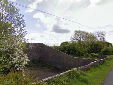 handball alley711 yd
 bridge875 yd
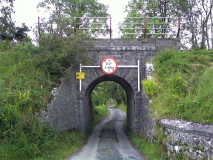 bridge1419 yd
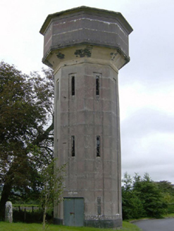 water tower1.2 mi
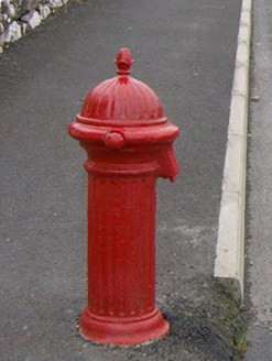 water pump1.2 mi
 Balla Railway StationRailway station · 1.2 miIndicatedEnclosure · 1.3 mi
 Round Tower1.5 miCastleCastle, ringwork · 1.6 miCarrowbeg WoodWood · 3.7 mi
_-_geograph.org.uk_-_4072916.jpg/250px-Castles_of_Connacht,_Doonamona,_Mayo_(1)_-_geograph.org.uk_-_4072916.jpg "Photo: Mike Searle, Wikimedia Commons · CC BY-SA 2.0") Doonamona CastleCastle · 4.5 mi
Doonamona CastleCastle · 4.5 mi Sycamore10 mi
Pictures: National Inventory of Architectural Heritage; The Carlisle Kid, Wikimedia Commons · CC BY-SA 2.0; JohnArmagh, Wikimedia Commons · CC BY-SA 3.0; Mike Searle, Wikimedia Commons · CC BY-SA 2.0; Christian Pirkl, Wikimedia Commons · CC BY-SA 3.0 at
More archaeology and monuments in County Mayo · All of County Mayo
What do you know about this place?