What is recorded here
On a gentle NE-facing slope in pasture with nearby stream to N. A D-shaped enclosure, with a laneway transecting the N quadrant, is depicted on the 1st (1840) ed. OS 6-inch map. The lane led to a 19th century house which is now in ruins. The barely visible outline of a possible circular enclosure (diam. 50m; 30m NW-SE) survives.
Compiled by: Jean Farrelly
Date of upload: 26 August 2011
The monument record does not grant public access. Check the route and ask the landowner before entering private land.
- What survives
- Recorded monument
Places near here
 RathbegFairy fort / earthen ringfort · 717 yd
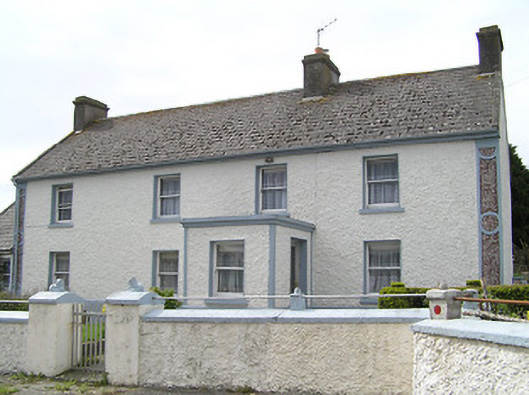 farm housefarm house · 1291 yd
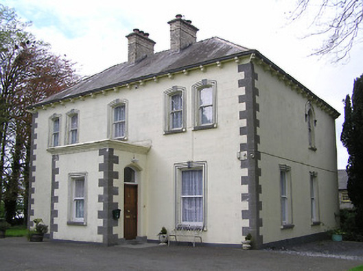 presbytery/parochial/curate's housepresbytery/parochial/curate's house · 1306 yd
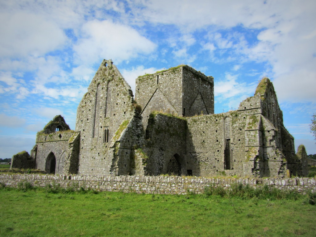 Partially hachuredEnclosure · 1.0 mi
 Fennor Castle (in Ruins)Castle, unclassified · 1.5 mi
 Kilcooly AbbeyHeritage attraction · 1.6 mi
 Black CastleCastle, hall-house · 1.7 mi
 KilcooleyForest · 1.7 mi
 Serpentine WoodForest · 2.1 mi
 Bregaun HillMountain / peak · 3.3 mi
 John HelyMemorial · 4.5 mi
 DelaneyMemorial · 4.6 mi