What is recorded here
In undulating terrain, on top of a slope with falls away to the NE and SW, under tillage. An enclosure identified as a roughly circular cropmark on an aerial photograph (ASI AP Flight 20, 11.07.2005). On the 2nd (1903) ed. OS 6-inch map the SW-W-N portion of the bank of the enclosure is indicated with a field boundary running NE-SW along the SE edge and NW-SE along the SW edge. According to the landowner these field boundaries where removed at least 30 years ago. There was no tradition of a monument associated with the field. The area outlined by the cropmark is still faintly visible as a slightly raised area, though no diameters were possible.
Compiled by: Jean Farrelly
Date of upload: 26 August 2011
The monument record does not grant public access. Check the route and ask the landowner before entering private land.
- What survives
- Recorded monument
Places near here
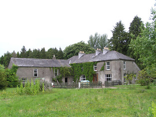 George's Parkhouse · 611 yd
 IndicatedEnclosure · 675 yd
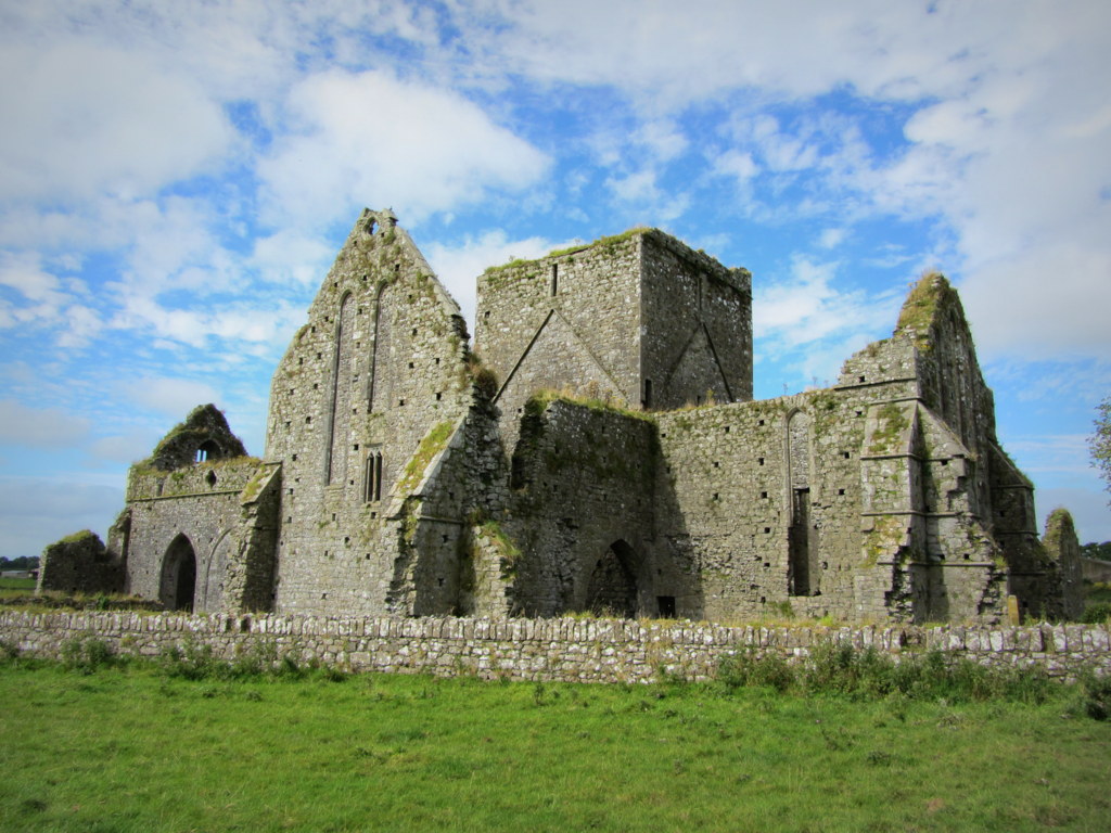
 Kilcooly Abbeychurch/chapel · 1723 yd
 KilcooleyForest · 1.1 mi
 TombTomb, effigial · 1.1 mi
 Serpentine WoodForest · 1.3 mi
 Black CastleCastle, hall-house · 1.4 mi
 Fennor Castle (in Ruins)Castle, unclassified · 1.9 mi
 Bregaun HillMountain / peak · 3.2 mi
 John HelyMemorial · 4.2 mi
 DelaneyMemorial · 4.4 mi
 Clomantagh HillMountain / peak · 4.5 mi
Other information
Photo: Credit not shown in the picture search · Rights wording not checked; contact us if this picture should be removed