What is recorded here
Situated on a marked ENE-facing slope. Oval site (int. dims. 5.1m E-W; 4m N-S) defined by a low earth and stone bank, with a revetment of stone visible in places. There is a possible entrance at the E. The OS Name Books mention 'two small raths' in this townland, possibly small enclosures or hut sites.
The above description is derived from the published 'Archaeological Inventory of County Wicklow' (Dublin: Stationery Office, 1997). In certain instances the entries have been revised and updated in the light of recent research.
Date of upload/revision: 17 December 2008
The monument record does not grant public access. Check the route and ask the landowner before entering private land.
- What survives
- Recorded monument
Places near here
 IndicatedFairy fort / earthen ringfort · 663 yd
 Enclosure in Rathnagrew UpperEnclosure · 1542 yd
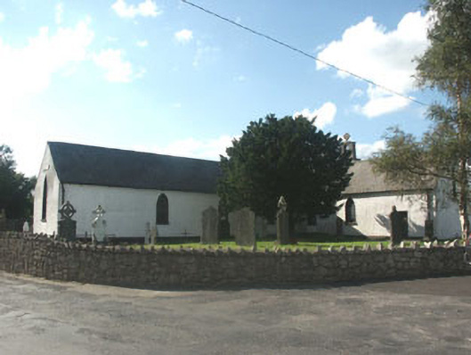 Knockananna Catholic Churchchurch/chapel · 1758 yd
 Springfield HouseRuins · 1.3 mi
 Eagle HillMountain / peak · 2.0 mi
 Ballycumber HillMountain / peak · 2.2 mi
 Clonmore MoatCastle, motte and bailey · 3.1 mi
 Sessile OakSessile Oak · 3.3 mi
 Luke O'Toole MemorialMemorial · 3.3 mi
 Clonmore Castle (in Ruins)Castle, Anglo-Norman masonry castle · 3.4 mi
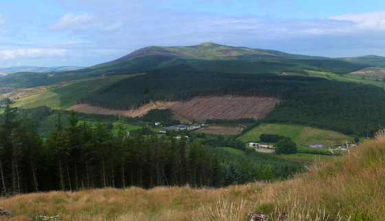 Mangan's WoodForest · 3.5 mi
 1798 Lacey Brothers MemorialMemorial · 4.6 mi