What is recorded here
Foundations of a rectangular drystone-built church (int. dims. 13m E-W; 6.5m N-S) situated within a subrectangular graveyard (int. dims. c. 53m NW-SE; c. 37m NE-SW) enclosed by a stone wall. Davies (1948, 115) speculated that a separate chamber (L 3m) at the W end of the church foundations may have been 'part of a vault supporting a gallery'. He also noted some blocks of sandstone built into the gateposts which he suggested were possibly the jambs of 'primitive widely splaying windows, with small chamfer on outer edge'. Examination of the fields around the existing graveyard revealed that the original enclosure was circular (diam. c. 60m) and considerably larger than the area now defined by the graveyard. From SE-S-SW the original perimeter survives as a low earthen bank with a shallow but clearly defined external depression, presumably the remains of a fosse. From W-NW and at E the perimeter is identifiable only as a scarp. Two depressions which probably represent a collapsed Man-made underground passage (CV039-071002-) occur c. 16m S of the graveyard wall.
The above description is derived from the published 'Archaeological Inventory of County Cavan' (Dublin: Stationery Office, 1995). In certain instances the entries have been revised and updated in the light of recent research.
Date of upload/revision: 22 December 2008
The monument record does not grant public access. Check the route and ask the landowner before entering private land.
- What survives
- Recorded monument
Places near here
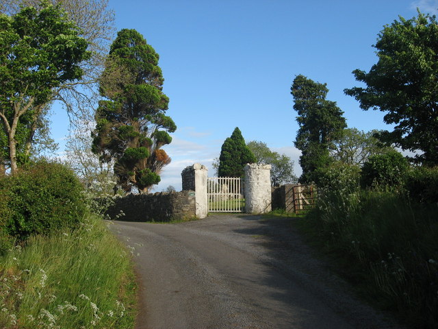 Grave YardGraveyard · 21 yd
 IndicatedHoly well · 72 yd
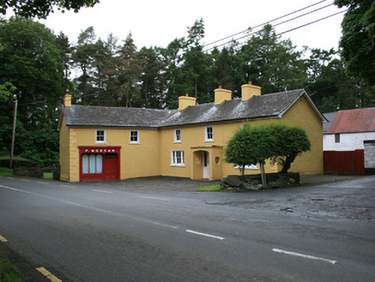 P. Morganfarm house · 872 yd
 EnaghMountain / peak · 922 yd
 CornasheskMountain / peak · 949 yd
 Ardlow National Schoolschool · 1509 yd
 The Big Man's GraveArchaeological place · 1.5 mi
 Carraig-na-SasanacNamed rock · 1.6 mi
 Ramor Aontaithe C.L.G. Dolan ParkMemorial · 1.6 mi
 Sessile OakSessile Oak · 1.6 mi
 Rahardrum Sand BankWood · 1.8 mi
 RahardrumCastle, unclassified · 1.8 mi