What is recorded here
Church in Rackwallace once went by a name meaning the Long Fort of Mac Mahon. You’d pity a medieval lad asking directions: ‘The church?’ ‘The fort.’ ‘I’m after confession.’ ‘And I’m telling you where it is.’
Located towards the bottom of a NW-facing slope with a small SSW-NNE stream c. 80m to the NW. This is the site of the parish church of what has become Monaghan parish prior to the building of a church (MO009-060012-) in the town after 1601. It is not listed in the ecclesiastical taxation (1302-06) of Pope Nicholas IV,…
Read the whole record
Located towards the bottom of a NW-facing slope with a small SSW-NNE stream c. 80m to the NW. This is the site of the parish church of what has become Monaghan parish prior to the building of a church (MO009-060012-) in the town after 1601. It is not listed in the ecclesiastical taxation (1302-06) of Pope Nicholas IV, but a church of Lochdaye or Laghty, meaning the Long Fort of Mac Mahon is known from 1427 (McKenna 1920, 1, 17-8; Leslie 1929, 228). However, from the end of the fifteenth century the church is called Rackwallace, and it may be on an ancient site as the abbot of Armagh is described as of ‘Rath Mac Malais’ in 834 and 838 (Shirley 1879, 309). In 1622 when the church ‘of Rackwallace’ is described in Spottiswood’s visitation as ‘new built but indifferently repaired’ the church in Monaghan town (MO009-066012-) is probably intended (Leslie 1929, 228-33). The names of some of the clergy are known from 1532 (ibid.). Only the graveyard is depicted and named on the 1835 and 1907 editions of the OS 6-inch map. The foundations of the W end of a plain rectangular structure (dims c. 15m E-W; 4m N-S) were visible in 1968 (SMR file) in a rectangular graveyard (dims c. 40m NNW-SSE; c. 40m ENE-WSW) defined by earthen banks. It is thought that burial ceased c. 1930 and most of the headstones are lost but some dating from 1710 to 1794 have been recorded (Ó Dubhtaigh 1962 160-1). A skeleton found N of graveyard indicates that the graveyard was originally more extensive (ibid. 159). (McKenna 1920, 1, 16-38)
The above description is derived from the published 'Archaeological Inventory of County Monaghan' (Dublin: Stationery Office, 1986).
From the National Monuments Service (Archaeological Survey of Ireland) record MO014-014001
Places near here
Photo credits
- National Inventory of Architectural Heritage
- Kenneth Allen, Geograph · Creative Commons Attribution-ShareAlike 2.0
- Lairdsnowden Richard Snowden, Wikimedia Commons · Public domain
- James O'Neill, Wikimedia Commons · CC BY-SA 4.0
- Brian Lenehan, Geograph · CC BY-SA 2.0
- Eric Jones, Geograph · CC BY-SA 2.0
- Andreas F. Borchert, Wikimedia Commons · CC BY-SA 3.0 de
- Walking with a phone, Wikimedia Commons · CC BY-SA 4.0
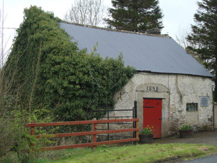 Ardaghy ForgeForge/smithy · 959 yd
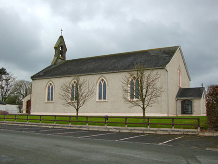 Saint Michael's Catholic ChurchChurch/chapel · 1073 yd
 Clontibret First Presbyterian ChurchOfficially recorded historic building · 1.0 mi
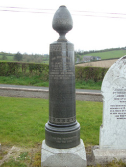 Braddocks Presbyterian ChurchMonument · 1.1 mi
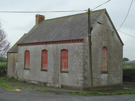 Crosses Protestant HallHall · 1.2 mi
 Castleshane HouseCountry house · 1.4 mi
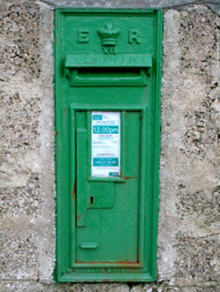 post box1.6 mi
 Battle of ClontibretBattlefield · 2.5 mi
 Old Cross SquareMonument · 3.7 mi
 Dawson MonumentMonument · 3.9 mi
 Monaghan County MuseumMuseum · 3.9 mi
 Rossmore MausoleumHeritage attraction · 4.3 mi
More historic places in County Monaghan · All of County Monaghan

What do you know about this place?Tap to add a comment or ask a question