
What is recorded here
On W side of road, pair of similar lime kilns, cut into slope and forming W end of small rectangular field. Indicated as single lime kiln on 1842 OS 6-inch map at W end of field, on S side. Both indicated on 1905 and 1935 OS 6-inch maps. Slightly overgrown random-rubble walls encase earthen core (c. 13m N-S; c. 14m E-W). Front elevation (H c. 5.3m) faces E with no clear break in construction between two recesses. Southern kiln has arched recess (H 1.6m; Wth 2.32m; D 1.7m) with well-shaped voussoirs, rear of recess collapsed; infilled with material from core and funnel. Slightly barrel-shaped funnel (diam. 1.9m), stone lined with upper c. 1.5m brick lined. Northern kiln similar with stone-arched recess (H 1.58m; Wth 2.25m; D 1.8m), rear collapsed, infilled with collapsed material from core and funnel. Slightly barrel-shaped funnel (diam. 2.04m), stone-lined with upper 1.4m brick-lined. Two ledges over recesses at H 2.3m and 3.8m. Rear of kilns overgrown.
The above description is derived from the published 'Archaeological Inventory of County Cork. Volume 4: North Cork' (Dublin: Stationery Office, 2000). In certain instances the entries have been revised and updated in the light of recent research.
Date of upload/revision: 14 January 2009
The monument record does not grant public access. Check the route and ask the landowner before entering private land.
- What survives
- Recorded monument
Places near here
 farmyard complexfarmyard complex · 562 yd
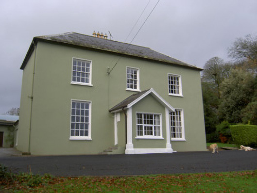 Springvale Househouse · 594 yd
 Fulacht fia in BoleynanoultaghFulacht fia · 1.0 mi
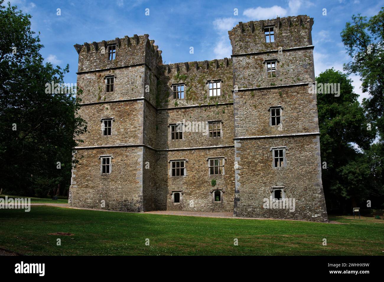 Man-made underground passage in OldcastletownMan-made underground passage · 1.1 mi
 CarrigeenamronetyMountain / peak · 1.5 mi
 Castletown Castle (Site of)Castle, unclassified · 1.8 mi
 North Meadow WoodForest · 1.9 mi
 Coolfree MountainMountain / peak · 1.9 mi
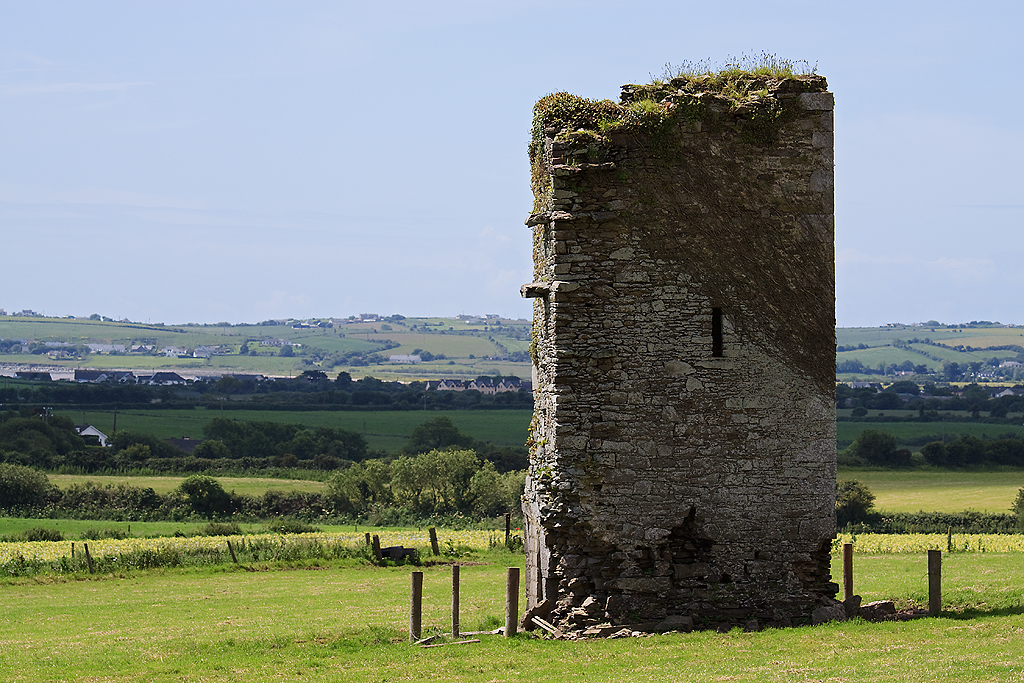 Farahy Castle (in Ruins)Castle, unclassified · 2.0 mi
 Horse Field WoodForest · 2.1 mi
 ToberpatrickSpring · 2.8 mi
 Flat cemetery in Ballyenahan NorthFlat cemetery · 3.2 mi
Other information
Photo: Credit not shown in the picture search · Rights wording not checked; contact us if this picture should be removed