
What is recorded here
In pasture, on gentle S-facing slope. According to local information, 'black soil and burnt stones' visible when field is ploughed. Dark coloured soil and some burnt stones noticed under grass.
The above description is derived from the published 'Archaeological Inventory of County Cork. Volume 4: North Cork' (Dublin: Stationery Office, 2000). In certain instances the entries have been revised and updated in the light of recent research.
Date of upload/revision: 14 January 2009
The monument record does not grant public access. Check the route and ask the landowner before entering private land.
- What survives
- Recorded monument
Places near here
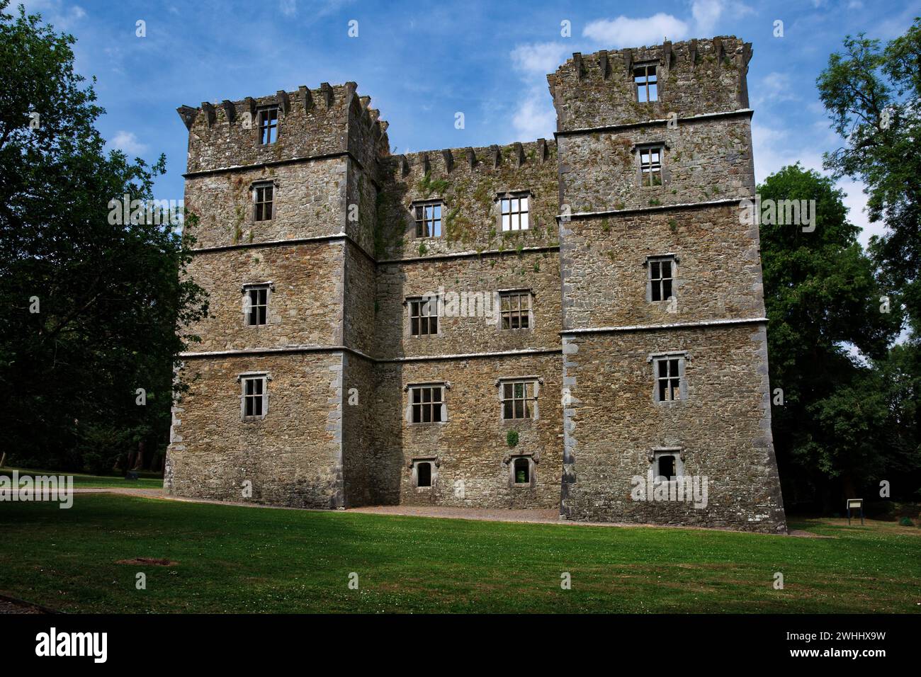 Man-made underground passage in OldcastletownMan-made underground passage · 1204 yd
 farmyard complexfarmyard complex · 1294 yd
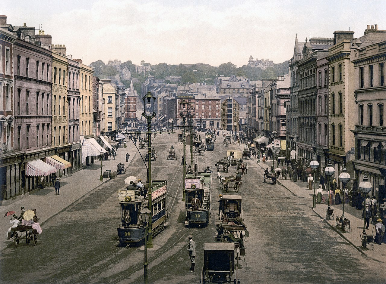 IndicatedHouse, vernacular house · 1742 yd
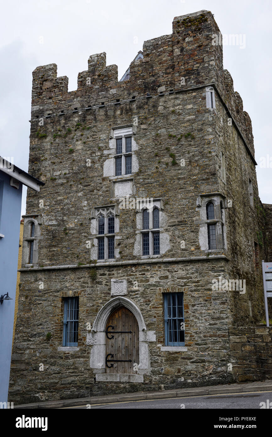 Fulacht fia in OldcastletownFulacht fia · 1.1 mi
 CarrigeenamronetyMountain / peak · 1.4 mi
 Castletown Castle (Site of)Castle, unclassified · 1.5 mi
 Kilclooney WoodWood · 1.6 mi
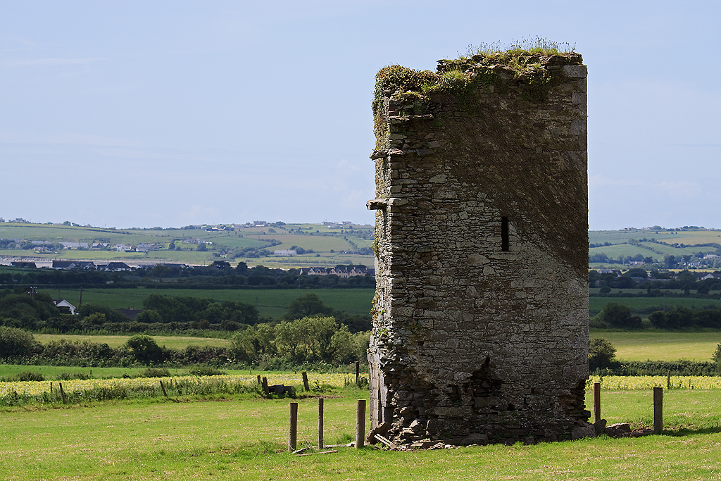 Farahy Castle (in Ruins)Castle, unclassified · 2.5 mi
 North Meadow WoodForest · 2.6 mi
 Coolfree MountainMountain / peak · 2.6 mi
 Flat cemetery in Ballyenahan NorthFlat cemetery · 2.9 mi
 ToberpatrickSpring · 3.1 mi
Other information
Photo: Credit not shown in the picture search · Rights wording not checked; contact us if this picture should be removed