
What is recorded here
In pasture, at the W boundary of the townland, located on a low rise with a gentle slope to E.
This possible rath is shown on the 1838 OS 6-inch map as a circular embanked enclosure, incorporated into the townland boundary on the W side, and on the 1920 edition as a penannular hachured area open to the SW. It has been partly levelled. The outline of roughly semi-circular area (25.8m NW–SE), representing the N half of the original enclosure, can still be discerned, defined by a levelled scarp. At SW–NW the scarp is reduced to a slight rise, faced externally by the extant townland boundary wall. At N–E the scarp (Wth slope 5.5m; ext. H 1m, at NE) has a broadly slumped slope, and is overlain at NE by a modern shed. The S-SSW section of the enclosure can no longer be traced.
Compiled by: Jane O'Shaughnessy
Date of upload: 9 July 2020
The monument record does not grant public access. Check the route and ask the landowner before entering private land.
- What survives
- Recorded monument
Places near here
 IndicatedFairy fort / earthen ringfort · 384 yd
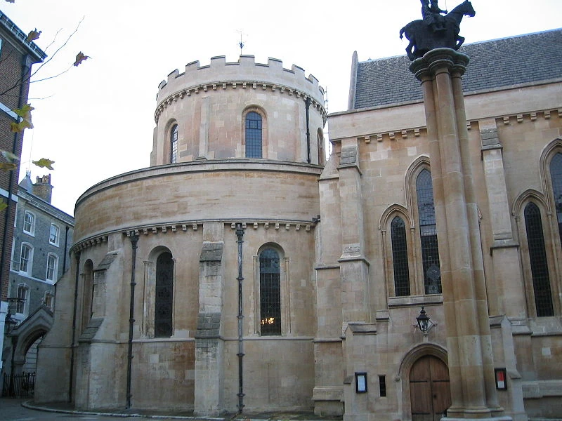 Church in TempleChurch · 1087 yd
 Ritual siteRitual site, holy/saint's stone · 1153 yd
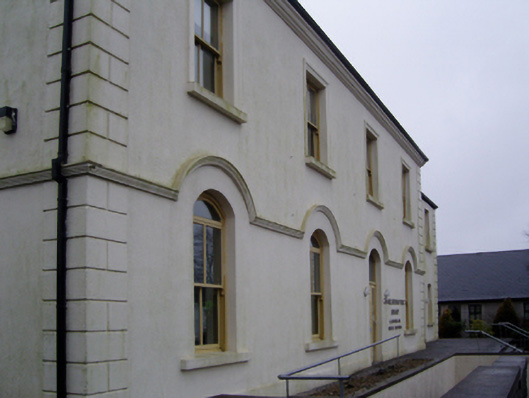 Charlestown Town Hall Arts Centretown/county hall · 1.3 mi
 Old Cave Burial GroundArchaeological place · 4.8 mi
 East Mayo Brigade MonumentMemorial · 6.6 mi
 Bockagh HillMountain / peak · 7.1 mi
 Rath Castle in ruinsCastle, tower house · 7.4 mi
 Casatle (ruins)Castle, unclassified · 8.0 mi
 Thorn CaveCave · 8.7 mi
 Kiltimagh MuseumMuseum · 11 mi
 I'll Send You The FareMemorial · 11 mi
Other information
Photo: Credit not shown in the picture search · Rights wording not checked; contact us if this picture should be removed