What is recorded here
A large roughly circular enclosure (diam. c. 126m) is indicated on the 1st ed. 6-inch OS map, with a smaller enclosure with a church in the E quadrant, the E boundary of the smaller enclosure utilises the E boundary of the larger enclosure. A farm lane defines the limit of this enclosure on the W and N sides, no other visible surface trace.
Compiled by: Jean Farrelly
Date of upload: 24 September 2012
The monument record does not grant public access. Check the route and ask the landowner before entering private land.
- What survives
- Recorded monument
Places near here
 Church (site of)Church · 14 yd
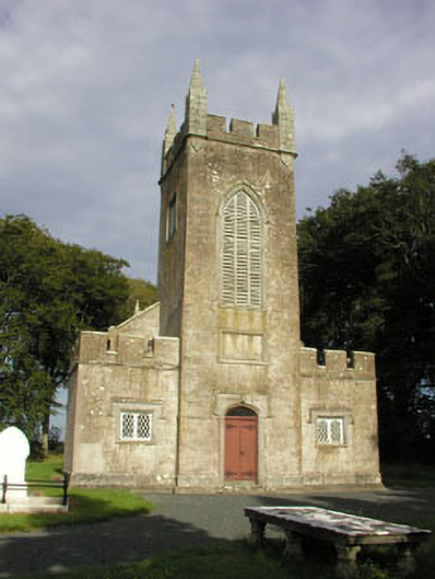 Saint John's Church (Preban)church/chapel · 156 yd
 Enclosure in PrebanEnclosure · 1031 yd
 Site of CastleCastle, unclassified · 1750 yd
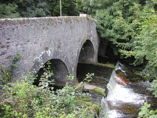 Ballinglen Bridgebridge · 1.3 mi
 1798 Lacey Brothers MemorialMemorial · 1.3 mi
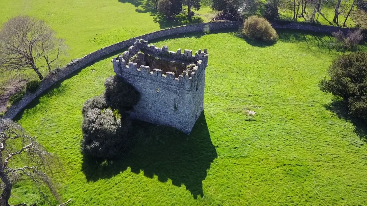 (Site of) Castle & RampartCastle, unclassified · 1.6 mi
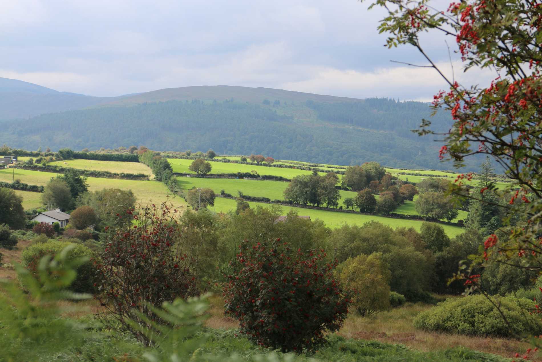 Roddenagh WoodForest · 2.0 mi
 Luke O'Toole MemorialMemorial · 2.0 mi
 Coolalug WoodWood · 2.2 mi
 Ballycumber HillMountain / peak · 2.9 mi
 Ballycurragh HillMountain / peak · 3.4 mi