What is recorded here
Marked only on the 1940 ed. of the OS 6-inch map where it is described as a standing stone, and it is located towards the S edge of a plateau. It was described in 1940 as having a sub-triangular cross-section (dims c. 0.65m x. 0.6m; H 1.2m) (OSFM). It does not survive.
From the National Monuments Service (Archaeological Survey of Ireland) record WX039-002
The monument record does not grant public access. Check the route and ask the landowner before entering private land.
- What survives
- Recorded monument
Places near here
Photo credits
- National Inventory of Architectural Heritage
- Donald Hobern from Copenhagen, Denmark, Wikimedia Commons · CC BY 2.0
- Dr Charles Nelson, Wikimedia Commons · CC BY-SA 2.0
- David Purchase, Wikimedia Commons · CC BY-SA 2.0
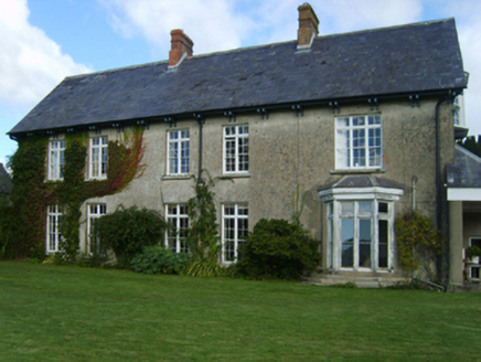 Alderton HouseFarm house · 804 yd
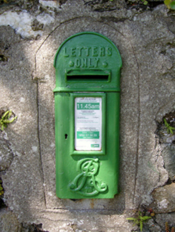 post box875 ydCastleCastle, tower house · 1060 ydMan-made underground passage in FisherstownMan-made underground passage · 1134 ydCastle (in ruins)Castle, tower house · 1636 ydIndicatedFairy fort / earthen ringfort · 1666 ydArboretum MapVisitor information · 1.6 miBamboo CollectionVisitor information · 1.6 mi
 Silver Wattle1.6 miJohn F. Kennedy Arboretum MuseumMuseum · 1.6 mi
 The John F. Kennedy ArboretumForest · 1.7 mi
 SlievecoiltiaMountain / peak · 2.2 mi
More archaeology and monuments in County Wexford · All of County Wexford
What do you know about this place?