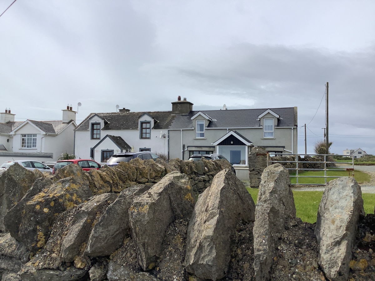
What is recorded here
Located towards the bottom of a NE-facing slope with the head of a SE-NW inlet of the tidal River Nore/Barrow c. 100m to the NE. The Man-made underground passage is on the line of the bank of rath (WX039-087001-) at W, and was discovered when a lintel was removed in ploughing. It is an oval chamber (dims 3.2m NE-SW; 1.2-1.9m NW-SE) and the long walls corbel in to a line of lintels on the long axis. The SW end has collapsed and the maximum H (1.3m) is achieved at the NE end where the present entrance is. There is a lintelled but blocked entrance (Wth 0.5m; visible H 0.4m) at the NE end of the chamber, which is now closed.
Compiled by: Michael Moore
Date of upload: 25 January, 2013
The monument record does not grant public access. Check the route and ask the landowner before entering private land.
- What survives
- Recorded monument
Places near here
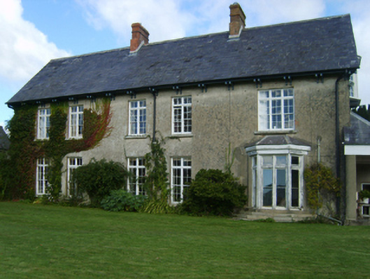 Alderton Housefarm house · 335 yd
 Castle (in ruins)Castle, tower house · 791 yd
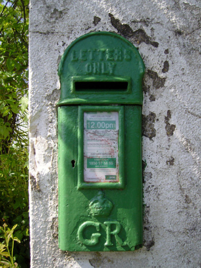 post boxpost box · 863 yd
 CastleCastle, tower house · 1460 yd
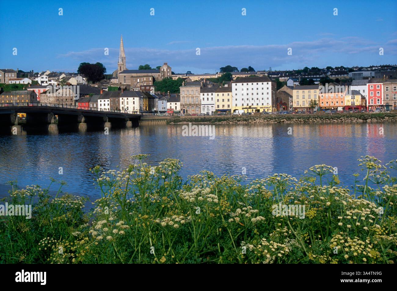 Fulacht FianFulacht fia · 1730 yd
 IndicatedEnclosure · 1.1 mi
 Goat IslandIsland · 1.1 mi
 Silver WattleSilver Wattle · 1.8 mi
 Bamboo CollectionVisitor information · 1.8 mi
 Arboretum MapVisitor information · 1.9 mi
 The John F. Kennedy ArboretumForest · 2.0 mi
 John F. Kennedy Arboretum MuseumMuseum · 2.0 mi
Other information
Photo: Credit not shown in the picture search · Rights wording not checked; contact us if this picture should be removed