
What is recorded here
Located towards the bottom of a N-facing slope on the N side of what was the Great Island (dims c. 2.5km N-S; c. 800m E-W at S to 1.8km E-W at N) in the N-S River Barrow/Nore, but the channel on the N and E sides (Wth c. 500-600m) of the island has silted up or been reclaimed. An earthwork enclosure, described as an annexe by Westropp (1918, 11-12) was attached to the ecclesiastical enclosure (WX039-018007-) at N. It was a subcircular area (dims. c. 55m E-W; c. 42m N-S) defined by the earthen bank of the ecclesiastical enclosure (Wth c. 6m) at S and probably by field banks at E and N. In the interior six hollows (diams c. 9-10m) defined by low banks were interpreted as house sites but they may have been quarry holes and spoil mounds. A bullaun stone described as ‘three feet by two feet by 15 inches (dims c. 0.9m x c. 0.6m; H c. 0.4m) with an oval scoop ‘12 inches by 10 inches (dims c. 0.3m x c. 0.25m)’ was on the perimeter at N but has been moved to a piece of open ground (WX039-092----) c. 1km to the SW. The area of the annexe has since been levelled and is now overgrown and has some modern quarries.
The above description is derived from the published 'Archaeological Inventory of County Wexford' (Dublin: Stationery Office, 1996). In certain instances the entries have been revised and updated in the light of recent research.
Compiled by: Michael Moore
Date of revision: 28 April, 2015
The monument record does not grant public access. Check the route and ask the landowner before entering private land.
- What survives
- Recorded monument
Places near here
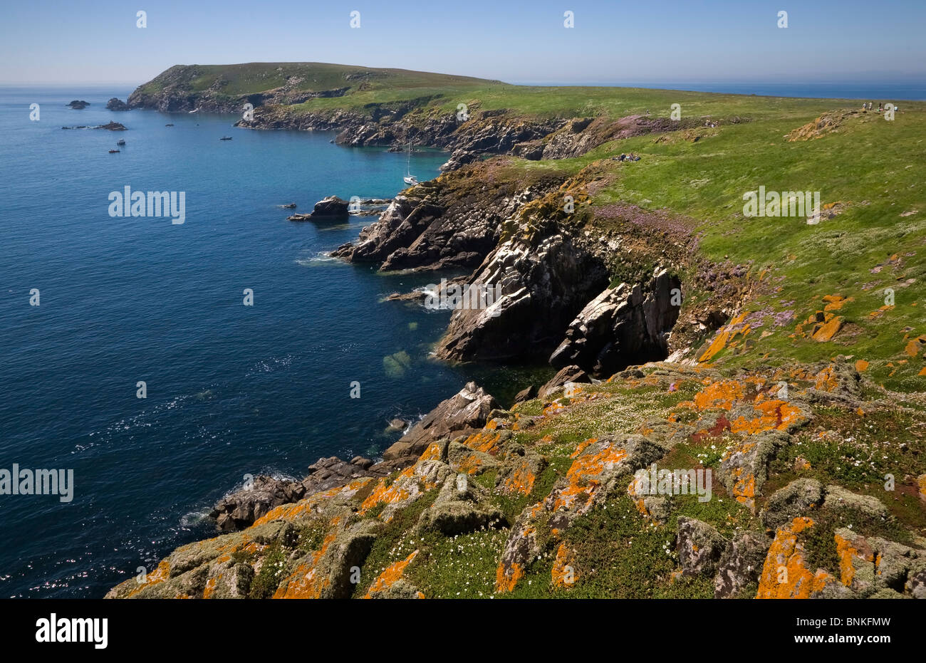 Enclosure in Great IslandEnclosure · 116 yd
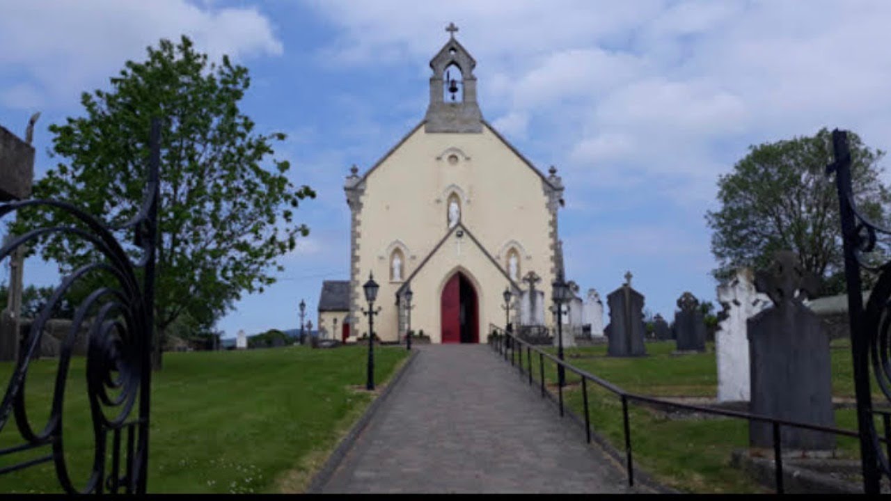 Kilmokea ChurchRuins · 168 yd
 Water millWater mill, horizontal-wheeled · 179 yd
 (Site of) Kilmilea ChurchChurch · 186 yd
 Goat IslandIsland · 686 yd
 CastleRuins · 1476 yd
 (Sites of) CastlesCastle, unclassified · 1516 yd
 Cheek PointHeadland · 1.9 mi
 Dunbrody Abbey Visitor CentreHeritage attraction · 2.0 mi
 Dunbrody Abbey Hedge MazeHeritage attraction · 2.0 mi
 9/11 MemorialMemorial · 5.5 mi
 Saltmills Explosion MemorialMemorial · 8.7 mi
Other information
Photo: Credit not shown in the picture search · Rights wording not checked; contact us if this picture should be removed