
What is recorded here
Situated towards the bottom of the SW-facing foothills of Slievecoiltia Hill. This is a circular grass and scrub-covered area (diam. 35.7m N-S; 33m E-W) defined by the remains of an earthen bank best preserved (Wth 7m; int. H 1.4m; ext. H 2m) NW-NE, declining to a low scarp (H 0.5m) S-W. There are slight traces of an external fosse best preserved (Wth 5m) at E. There is no identifiable entrance.
The above description is derived from the published 'Archaeological Inventory of County Wexford' (Dublin: Stationery Office, 1996). In certain instances the entries have been revised and updated in the light of recent research.
Compiled by: Michael Moore
Date of upload/revision: 24 January, 2013
The monument record does not grant public access. Check the route and ask the landowner before entering private land.
- What survives
- Recorded monument
Places near here
 Not indicatdFairy fort / earthen ringfort · 272 yd
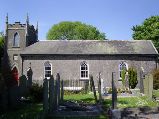 Whitechurch Churchchurch/chapel · 807 yd
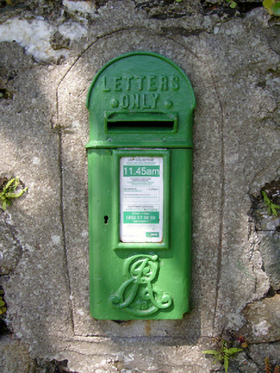 post boxpost box · 820 yd
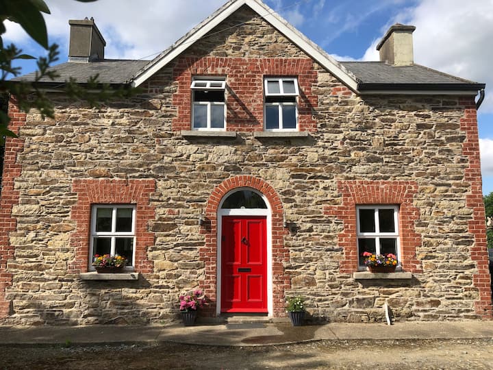 Ecclesiastical enclosure in BallybrazilEcclesiastical enclosure · 918 yd
 CastleCastle, tower house · 962 yd
 Bamboo CollectionVisitor information · 1216 yd
 John F. Kennedy Arboretum MuseumMuseum · 1218 yd
 The John F. Kennedy ArboretumForest · 1331 yd
 Silver WattleSilver Wattle · 1343 yd
 Barberry CollectionVisitor information · 1539 yd
 The Croppy GroveMemorial · 1.1 mi
 Garden of RemembranceMemorial · 1.1 mi
Other information
Photo: Credit not shown in the picture search · Rights wording not checked; contact us if this picture should be removed