
What is recorded here
Situated on a rise towards the bottom of a SE-facing slope. This is a raised and circular grass and scrub-covered area (diam. 38.4m N-S: 36m E-W) that slopes down slightly to the NE (H 0.8m). It is defined by an earthen bank (Wth of base 5m at NE to 9.5m at SW; int. H 0.4m; ext. H 1.7m at SW to 2.5m at NE) planted with deciduous trees. There is no visible fosse but there is an entrance ramp (Wth of base 4.3m) at E.
The above description is derived from the published 'Archaeological Inventory of County Meath' (Dublin: Stationery Office, 1987). In certain instances the entries have been revised and updated in the light of recent research.
Compiled by: Michael Moore
Date of revision: 27 February 2019
A local fairy fort (ringfort/rath); wider significance not recorded.
The monument record does not grant public access. Check the route and ask the landowner before entering private land.
- What survives
- Recorded monument
Places near here
 Balgree MoteCastle, motte · 221 yd
 Ballyhist WoodWood · 754 yd
 CastleCastle, motte and bailey · 1218 yd
 Stone CrossCross, Wayside cross · 1353 yd
 EnclosureEnclosure, large enclosure · 1548 yd
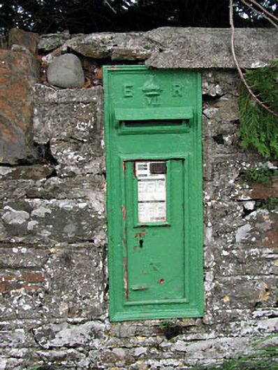 post boxpost box · 1658 yd
 bridgebridge · 1713 yd
 Woodpole Fox CovertWood · 1.1 mi
 Oliver Plunkett memorialMemorial · 3.2 mi
 MaperathMountain / peak · 3.4 mi
 IslandboyIslet · 3.8 mi
 Stony IslandIslet · 4.0 mi
Other information
Photo: Credit not shown in the picture search · Rights wording not checked; contact us if this picture should be removed