
What is recorded here
The monument was apparently levelled in 1954 and by 1972 survived as a 'scarcely visible' circular area (diam. 41m) defined by a shallow fosse which could only be 'traced with difficulty'. In 1985 the site was under tillage and no longer visible at ground level (SMR file).
Compiled by: Gearóid Conroy
Date of upload: 10 June 2011
The monument record does not grant public access. Check the route and ask the landowner before entering private land.
- What survives
- Recorded monument
Places near here
 Mass was there in Penal TimesMemorial · 703 yd
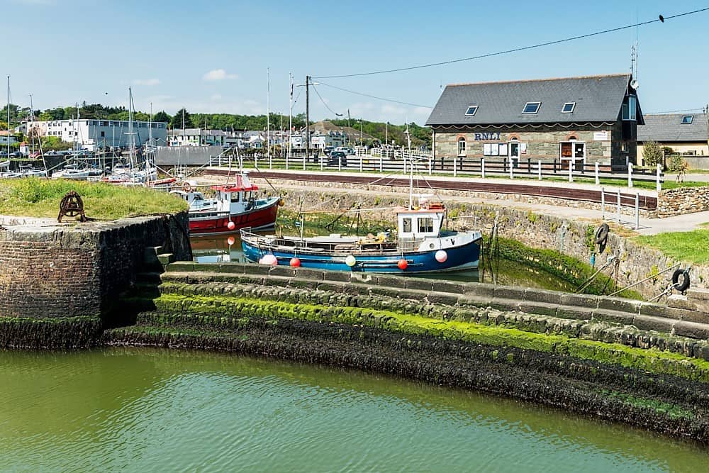 Enclosure in Courtown LittleEnclosure · 1145 yd
 Enclosure in PortgloriamEnclosure · 1190 yd
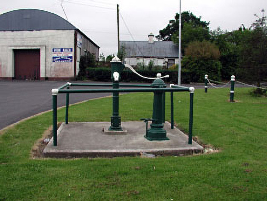 water pumpwater pump · 1.6 mi
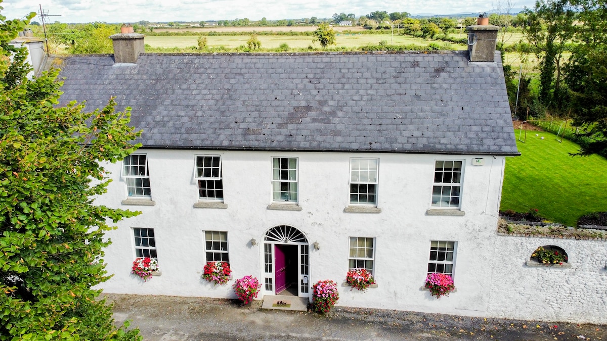 Bawn in PitchfordstownBawn · 1.6 mi
 16th Locklock · 1.6 mi
 CastleCastle, unclassified · 2.8 mi
 Cocked Hat WoodWood · 2.9 mi
 Maguire's WoodWood · 3.0 mi
 Oscoil Na hÉirean Má NuadMemorial · 3.3 mi
 Maynooth University South CampusHeritage attraction · 3.3 mi
 Library GardenHeritage attraction · 3.4 mi
Other information
Photo: Credit not shown in the picture search · Rights wording not checked; contact us if this picture should be removed