What is recorded here
Sub-rectangular shaped graveyard (map dims. c. 40m E-W; c. 35m N-S) with church remains (LH019-006001-) just N of centre. A number of grave-slabs dating to the 18th century recorded when inspected by ASI in 1966.
Compiled by: Claire Breen
Date of upload: 12 July 2012
The monument record does not grant public access. Check the route and ask the landowner before entering private land.
- What survives
- Recorded monument
Places near here
 Church (in ruins)Church · 10 yd
 Enclosure in MitchellstownEnclosure · 552 yd
 Enclosure in PortEnclosure · 869 yd
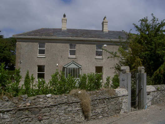 Seagrave Househouse · 1.0 mi
 Graveyard in DysartGraveyard · 3.0 mi
 Moneyveg WoodForest · 3.1 mi
 Sweet baySweet bay · 3.3 mi
 BarmeathCastle, tower house · 3.3 mi
 Tullydonnell HillMountain / peak · 3.4 mi
 Chapel (in Ruins), GraveyardChurch · 3.7 mi
 Castle RuinsCastle, tower house · 3.8 mi
 MonasterboiceEarly monastic site · 7.8 mi