What is recorded here
In pasture, on a prominent rise with a fall of ground to N and E. The Pollagh River is 360m to NW. There is a farmyard c. 20m to NW. This rath encompasses the top of a rise or knoll. It consists of a raised subcircular area (25.7m NNW−SSE; c. 24m ENE−WSW) defined by an earthen scarp. The scarp is enhanced by the steep…
Read the whole record
From the National Monuments Service (Archaeological Survey of Ireland) record MA071-170
Places near here
Photo credits
- Maker not stated on source page, www.dreamstime.com
- National Inventory of Architectural Heritage
- Maker not stated on source page, commons.wikimedia.org
- Maker not stated on source page, www.pinterest.com
- Kiltimagh GAA Club; individual photographer not named, kiltimaghgaaclub.com
- Swinford GAA; the page thanks Michael Maye, Rita Campbell and Fiona McDonagh, without assigning the panoramic image to one maker, swinfordgaa.ie
 Megalithic tomb in KilledanMegalithic tomb · 446 yd
Explorer Tom Megalithic tomb in Killedan has a tall tale about a hidden tunnel to the pub that definitely exists if you squint hard…
 Glore BridgeBridge · 864 yd
Explorer Tom Glore Bridge is reviewing its visitors right now. It’s giving two stars for 'lack of imagination' and three for…
 bridge1050 yd
Explorer Tom Bridge in Pollronahan More was built for the 'Burma Road', which is a name that sounds way more exotic than it needs to…
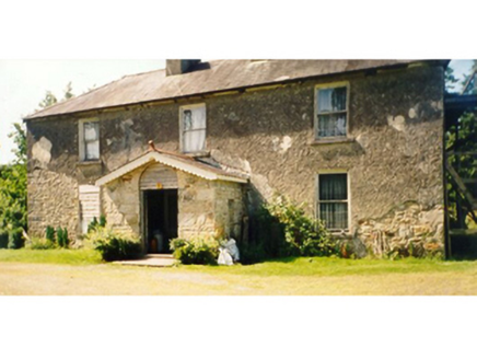 Killedan HouseFarm house · 1170 yd
Explorer Tom Killedan House in Killedan started as a bet between two lads who owed money. It’s got this weird tiered look that makes…
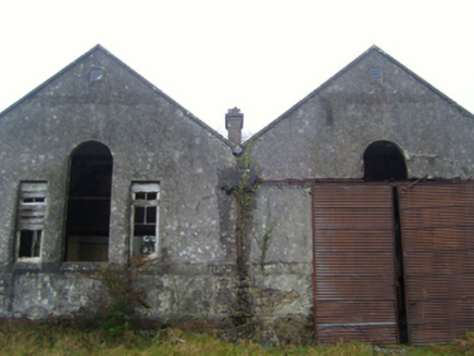 Lisduff National SchoolSchool · 1519 yd
Explorer Tom Lisduff National School has a hidden treasure that's definitely just an old biscuit tin. It’s got those Venetian…
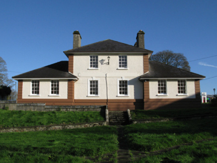 Kiltimagh Cottage HospitalHospital/infirmary · 1.2 mi
Explorer Tom Kiltimagh Cottage Hospital has a legend about a tunnel to the pub so patients could sneak out for pints. It was…
 Slieve Cairn FoothillsWalking route · 1.3 mi
Explorer Tom Slieve Cairn Foothills was once offered to a cow who wanted to buy it with a shiny button, but the deal fell through…
 Maghus Castle and Tir na nÓg PlaygroundChildren's playground · 1.4 mi
Explorer Tom Maghus Castle and Tir na nÓg Playground in County Mayo would order double chips and a mystery sauce at the chipper.…
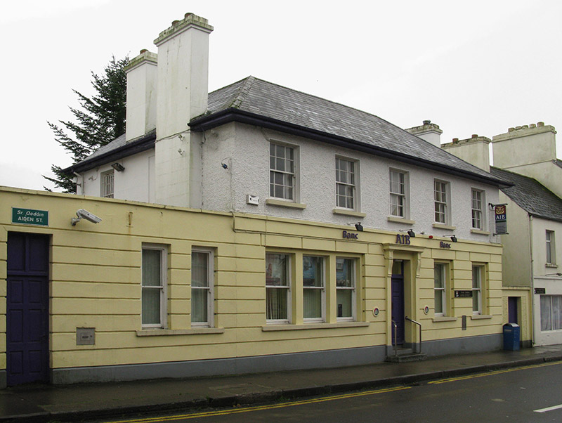 Allied Irish BankBank/financial institution · 1.4 mi
Explorer Tom Allied Irish Bank in Kiltamagh is dressed up like a Georgian gentleman but it’s basically just holding money for people…
 Gilmartin Park, Kiltimagh GAAGAA ground · 1.6 mi
 CastleCastle, unclassified · 3.5 mi
Explorer Tom Castle in Ballinamore was built on a bargain with a fairy who wanted a pair of boots. The castle vanished when the…
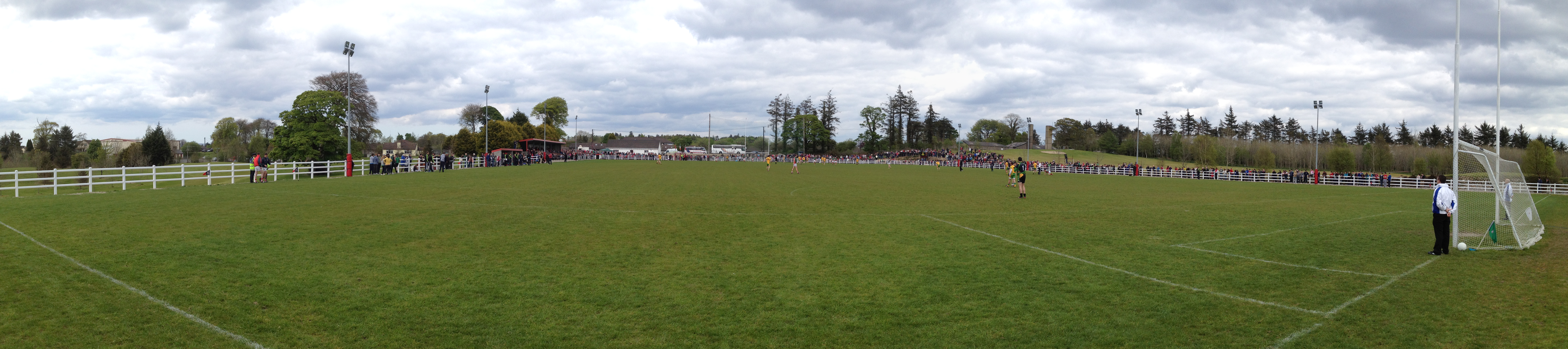 Robert McCallion Memorial Park, Swinford GAAGAA ground · 4.8 mi
More archaeology and monuments in County Mayo · All of County Mayo

What do you know about this place?Tap to add a comment or ask a question