What is recorded here
Situated in level pasture, on the E side of Mullingar town. Depicted on the 1837 OS 6-inch map as a standing stone. Annotated 'Standing Stone' on 1837 OS Fair Plan map where it is shown standing W of the canal near the townland boundary. Levelled monument described in 1983 as no surface remains visible. Levelled monument not visible on Digital Globe aerial photography.
Compiled by: Alison McQueen, Vera Rahilly and Caimin O’Brien
Date of upload: 04 June 2019
Likely dating to the Bronze Age, the stone may have served as a territorial marker or ceremonial site. No specific folklore is recorded, though its placement near early transport routes suggests possible ritual or navigational significance.
The monument record does not grant public access. Check the route and ask the landowner before entering private land.
- What survives
- Recorded monument
Places near here
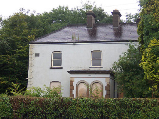 Lakeview Househouse · 85 yd
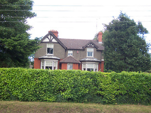 Maglonahouse · 232 yd
 IndicatedEcclesiastical enclosure · 291 yd
 Priests WellHoly well · 404 yd
 Augustinian Monks Memorial StatueMemorial · 430 yd
 Petits Castle Mote & Mill (Site of)Castle, unclassified · 588 yd
 Site of CastleCastle, unclassified · 773 yd
 The Chimera GalleryGallery · 818 yd
 Famine MemorialMemorial · 859 yd
 Mullingar Cathedral MuseumMuseum · 1030 yd
 Saint Brigid's WellSpring · 1.9 mi
 Lady's IslandWood · 3.0 mi