
What is recorded here
The curving townland boundary of Petitswood with the townland of Mullingar from S-W has been identified by Paul Gosling as the potential bank of an early ecclesiastical enclosure (diam. c. 230m E-W x 160m N-S). Sunday Well (WM019-089011-) lies 20m to the W. The townland boundary is depicted on the 1840 ed. OSi 6-inch map as the curving boundary of Petitswood. The area inside the enclosure is now occupied by modern houses of Auburn Village on the S outskirts of Mullingar town. The line of the enclosure along its N and E sectors is not preserved but can be extrapolated from the 60% of its perimeter which does survive along the S and W.
See attached oblique aerial photograph taken 1964 showing the curving townland boundary of Petitswood (CUCAP AJN042; https://www.cambridgeairphotos.com/location/ajn042/)
Compiled by: Caimin O’Brien based on details provided by Paul Gosling
Date of upload: 3 November 2021
A local fairy fort (ringfort/rath); wider significance not recorded.
The monument record does not grant public access. Check the route and ask the landowner before entering private land.
- What survives
- Recorded monument
Places near here
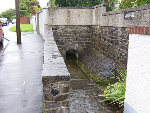 Sunday Wellwell · 143 yd
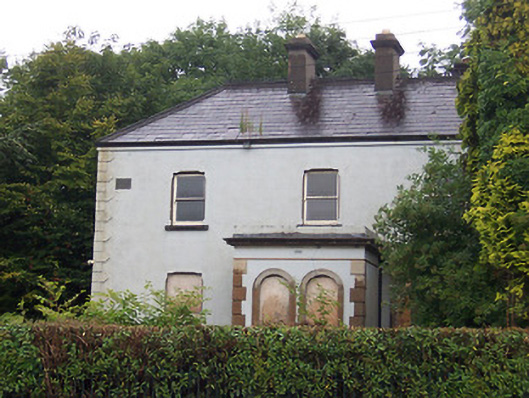 Lakeview Househouse · 207 yd
 Priests WellHoly well · 355 yd
 Petits Castle Mote & Mill (Site of)Castle, unclassified · 382 yd
 Augustinian Monks Memorial StatueMemorial · 442 yd
 CastleCastle, unclassified · 452 yd
 Courthouse in MullingarCourthouse · 558 yd
 The Chimera GalleryGallery · 655 yd
 Famine MemorialMemorial · 690 yd
 Mullingar Cathedral MuseumMuseum · 922 yd
 Saint Brigid's WellSpring · 2.0 mi
 Lady's IslandWood · 3.0 mi
Other information
Photo: Credit not shown in the picture search · Rights wording not checked; contact us if this picture should be removed