What is recorded here
Monument placed on the Register of Historic Monuments on the 01/03/1984. Extract from Iris Oifigiúil 10th April 1984.
Situated on top of a natural ridge with good views in all directions, stream 70m to N and River Brosna 430m to W. Depicted as a circular-shaped enclosure with some tree planting / landscaping around the perimeter of the monument on the 1837 ed. OS 6-inch map. House 40m to NNE that is annotated as Mount Lynn House on the revised 1911 ed. OS 25-inch map. Lynn House located 145m to SSE. Sometime between 1837 and 1911 the N perimeter of the monument has been cut into by the landscaping of Mount Lynn House and the E and S edges of the monument have also been cut into by the construction of field boundaries and a pavilion.
Present remains consist of a large roughly circular-shaped area (diam. 46m N-S; 48m E-W) enclosed by a low earthen bank mainly reduced to a scarp with wide flat-bottomed fosse and traces of an external bank best visible from S-W-WNW. No entrance feature visible. The interior rises considerably towards the centre following the natural slope of the hillock on which the monument stands.
Compiled by: Caimin O'Brien
Date of upload: 16 August 2017
The monument record does not grant public access. Check the route and ask the landowner before entering private land.
- What survives
- Recorded monument
Places near here
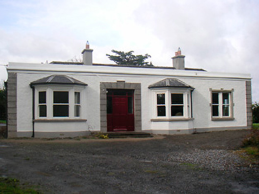 Mount Lynnhouse · 54 yd
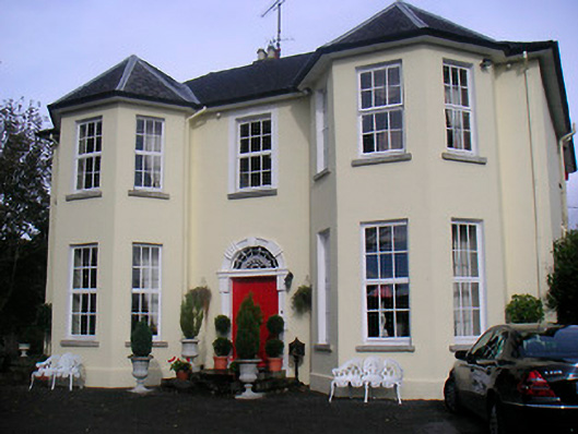 Lynn Lodgehouse · 198 yd
 Partially hachuredFairy fort / earthen ringfort · 698 yd
 Boardstown Castle (in Ruins)Castle, tower house · 1561 yd
 IndicatedEcclesiastical enclosure · 1616 yd
 Petits Castle Mote & Mill (Site of)Castle, unclassified · 1690 yd
 Famine MemorialMemorial · 1.1 mi
 The Chimera GalleryGallery · 1.1 mi
 Augustinian Monks Memorial StatueMemorial · 1.1 mi
 Mullingar Cathedral MuseumMuseum · 1.2 mi
 Saint Brigid's WellSpring · 2.8 mi
 Lady's IslandWood · 3.7 mi