
What is recorded here
Well depicted as ‘Priest’s Well’ on 1910 ed. OS 25-inch map but no depicted on 1837 ed. OS 6-inch map. Described in 1983 as ‘The well has been covered in and the area is covered with tarmacadam. A swimming pool has been built to the S of the site of the well’ (SMR File 25/07/1983).
Compiled by: Caimin O’Brien
Date of upload: 26 June 2014
Linked to a local tradition of pilgrimage and healing, the well may have been dedicated to a saint or used in pre-Christian ritual practices. Its depiction on early 20th-century maps suggests it was once a notable site, though its exact religious or folkloric significance remains unclear.
The monument record does not grant public access. Check the route and ask the landowner before entering private land.
- What survives
- Recorded monument
Places near here
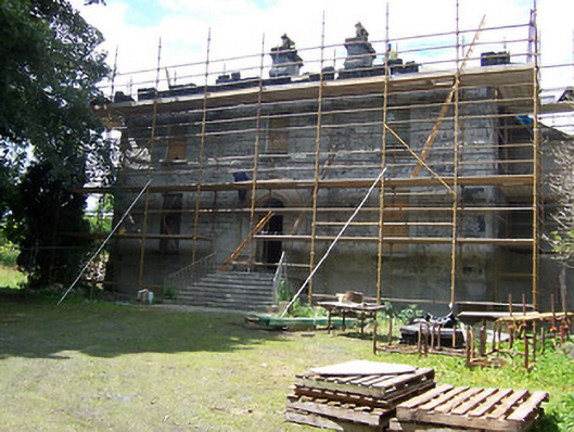 Annebrook Househouse · 73 yd
 Augustinian Monks Memorial StatueMemorial · 104 yd
 The Pilgrimsmonument · 105 yd
 CastleCastle, unclassified · 199 yd
 Courthouse in MullingarCourthouse · 267 yd
 Petits Castle Mote & Mill (Site of)Castle, unclassified · 281 yd
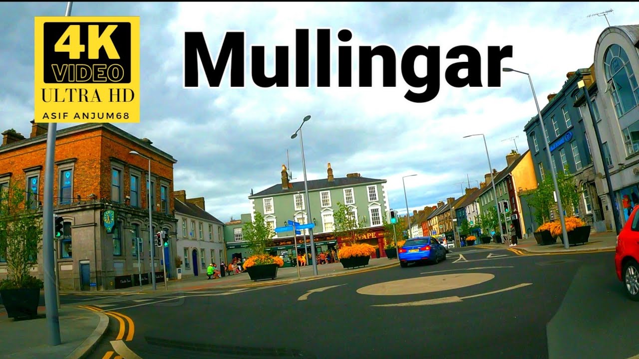 Town defences in MullingarTown defences · 290 yd
 The Chimera GalleryGallery · 429 yd
 Famine MemorialMemorial · 472 yd
 Mullingar Cathedral MuseumMuseum · 625 yd
 Saint Brigid's WellSpring · 1.8 mi
 Lady's IslandWood · 2.8 mi
Other information
Photo: Credit not shown in the picture search · Rights wording not checked; contact us if this picture should be removed