Places near here
Photo credits
- National Inventory of Architectural Heritage
- Adrian King, Geograph · CC BY-SA 2.0
- Bob Jones, Geograph · CC BY-SA 2.0
- The Banner, Wikimedia Commons · CC BY-SA 3.0
- Colin Park, Geograph · CC BY-SA 2.0
- NateBergin, Wikimedia Commons · CC BY 4.0
- N Chadwick, Geograph · CC BY-SA 2.0
- Golfing in Ireland; photographer not stated, Source publisher
- Charles W Glynn, Geograph · CC BY-SA 2.0
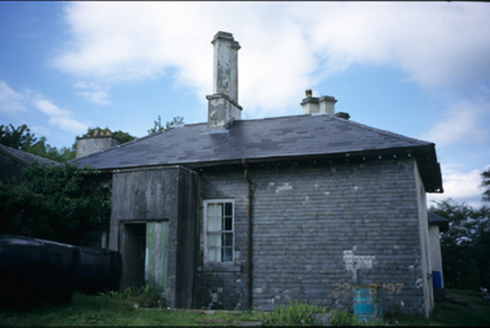 AdelphiHouse · 104 yd
Explorer Tom Adelphi in Clifden has a basement that’s only partly raised, which is either clever or just lazy architecture from…
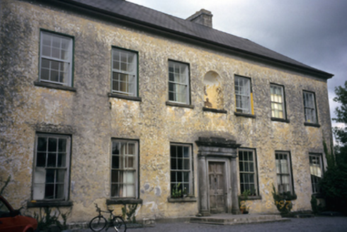 Clifden HouseCountry house · 441 yd
Explorer Tom Clifden House in Clifden has a legend about a giant who got stuck in the chimney. The house just let him be and kept…
 Inchiquin IslandIslet · 1284 yd
Explorer Tom Inchiquin Island was built on a bargain where someone traded a secret recipe for a chunk of land in Lough Inchiquin.…
 Rock IslandIsland · 1406 yd
Explorer Tom Rock Island is having a bit of a mood today, refusing to be the best man at its own wedding. It’s just standing there…
 Inchiquin CastleRuins · 1453 yd
Explorer Tom Inchiquin Castle is secretly proud of its potato, which it claims grew to the size of a small dog. It swears the spud…
Inchiquin Castle (in ruins)Castle, tower house · 1474 ydExplorer Tom Inchiquin Castle is perched on a rocky bluff, looking down its nose at the lough below. Built by a king, ruined by…
.jpg/250px-Church_of_Rath_Blaithmaic_sheela-na-gig_(upside_down).jpg "Photo: The Banner, Wikimedia Commons · CC BY-SA 3.0") Sheela-na-gig in RathSheela-na-gig · 2.0 mi
Sheela-na-gig in RathSheela-na-gig · 2.0 miExplorer Tom Sheela-na-gig in Rath is upside down over a window recess, probably judging your fashion choices. She’s been there…
 Burren Centre KilfenoraVisitor information · 5.8 mi
Explorer Tom The Burren Centre in Kilfenora is a sensible first stop before trying to make sense of north Clare's limestone hills. I…
 Cathedral (in ruins)Cathedral · 5.8 mi
Explorer Tom Kilfenora Cathedral is having a bit of a feud with the next village over something daft like whose sheep ate whose…
 High CrossHeritage attraction · 5.8 mi
Explorer Tom This High Cross had a moment where a fox took charge of the whole site, sitting on top of it looking like a tiny…
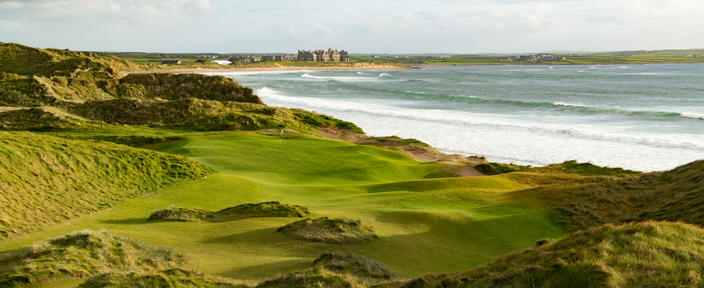 Trump International Golf Links – DoonbegGolf course · 20 mi
 Doughmore BeachBeach / strand · 21 mi
Explorer Tom Doughmore Beach near Doonbeg is not interested in being a dainty little cove. Its sand runs for about four and a half…
More castles and forts in County Clare · All of County Clare

What do you know about this place?Tap to add a comment or ask a question