What is recorded here
Indicated is a levelled fairy fort on a Cork hillbrow where a thin soil band still marks the vanished circle. Bowman recorded the site as a ringfort on John Horgan's land, yet the changed boundary suggests human hands may have joined the old shape rather than merely destroyed it. The surviving earth, tree roots and forgotten fence line that place still belongs to memory and imagination.
In tillage, on brow of hill. Depicted as hachured circular enclosure on 1842 OS 6-inch map; indicated as circular enclosure (diam. c. 35m) on 1905 OS 6-inch map. Levelled; arc formed by earthen bank (int. H 0.75m; ext. H 1.38m) survives E->WNW; bank planted with trees Levelled bank, WNW->E, visible as light band of soil (Wth 2m) in ploughed field. Bank to S possibly interfered with where it appears to form straight line. Interior (internal diam. 38m N-S; 32m E-W) slightly raised; SW quadrant planted with mature trees. Probably ringfort (diam. c. 47yd) recorded by Bowman (1934, 676) on John Horgan's, used as orchard and original fence replaced by modern fence.
The above description is derived from the published 'Archaeological Inventory of County Cork. Volume 4: North Cork' (Dublin: Stationery Office, 2000). In certain instances the entries have been revised and updated in the light of recent research.
Date of upload/revision: 14 January 2009
The monument record does not grant public access. Check the route and ask the landowner before entering private land.
- What survives
- Recorded monument
Places near here
 LisnapasteeBurial ground · 599 yd
 Lombardstown Bridgebridge · 1407 yd
 Gurteenkreen Castle (Site of)Castle, unclassified · 1419 yd
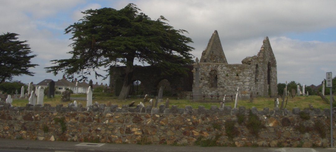 Burial ground in KilbarrahanBurial ground · 1748 yd
 Roskeen BridgeBridge · 1.0 mi
 Lohort CastleCastle, tower house · 2.2 mi
 Mount HillaryMountain / peak · 2.4 mi
 Mount Hillary - Knightfield LoopWalking route · 2.5 mi
 Dromaneen CastleHeritage attraction · 2.8 mi
 Mount Hillary - Mount Hillary LoopWalking route · 2.8 mi
 Graveyard in Ballygiblin (duhallow By.)Graveyard · 3.1 mi
 St Fursey's WellSpring · 3.2 mi