What is recorded here
Centrally located in Lough Nacreeva. Marked as an island on the 1837 and 1913 OS 6-inch maps. The lake has been drained and much of its original extent is now occupied by wet, marshy ground. This possible crannog is now located within the drained area, close to the S post-drainage shoreline of the lake. It comprises an approximately oval-shaped, slightly raised area (15m N-S; 10m E-W). No archaeological features were identified.
Compiled by: Patrick F. O'Donovan
Date of upload: 19 January 2011
The monument record does not grant public access. Check the route and ask the landowner before entering private land.
- What survives
- Recorded monument
Places near here
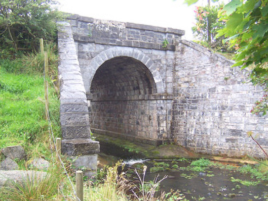 bridgebridge · 1012 yd
 CastleCastle, unclassified · 1330 yd
 IndicatedCrannog · 1465 yd
 Enclosure in BallyoganEnclosure · 1743 yd
 Camphill Househouse · 1.6 mi
 Ballynahowna CastleCastle, tower house · 2.3 mi
 Split RockNamed rock · 3.9 mi
 Wild Atlantic Way: Easky PierVisitor information · 4.8 mi
 Jim Smith MemorialMemorial · 4.9 mi
 Bunowna PointHeadland · 5.0 mi
 Grave of the Black PigArchaeological place · 5.7 mi
 Wild Atlantic Way: Inishcrone PierVisitor information · 5.8 mi