
What is recorded here
Centrally located in Lough Nascardigan. Shown as an oblong island (c. 20m N-S, c. 10m E-W) on the 1837 and 1913 OS 6-inch maps. The lake has been drained and the area is now occupied by very wet, marshy ground. At the location of the island there is a slightly raised subrectangular area (c. 40m N-S; c. 25m E-W) covered by bog and densely overgrown with scrub.
Compiled by: Patrick F. O'Donovan
Date of upload: 19 January 2011
The monument record does not grant public access. Check the route and ask the landowner before entering private land.
- What survives
- Recorded monument
Places near here
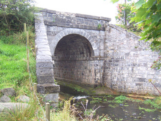 bridgebridge · 490 yd
 Enclosure in BallyoganEnclosure · 518 yd
 CastleCastle, unclassified · 1458 yd
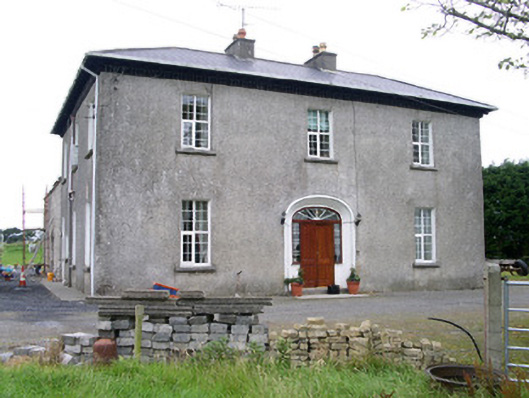 Oghil Housecountry house · 1479 yd
 Man-made underground passage in BallyoganMan-made underground passage · 1715 yd
 Ballynahowna CastleCastle, tower house · 2.7 mi
 Split RockNamed rock · 3.9 mi
 Wild Atlantic Way: Easky PierVisitor information · 4.6 mi
 Bunowna PointHeadland · 4.7 mi
 Jim Smith MemorialMemorial · 4.8 mi
 Wild Atlantic Way: Inishcrone PierVisitor information · 5.0 mi
 Grave of the Black PigArchaeological place · 5.0 mi
Other information
Photo: Credit not shown in the picture search · Rights wording not checked; contact us if this picture should be removed