What is recorded here
Situated on gently-sloping reclaimed bog. Not marked on any edition of the OS 6-inch map. Subcircular feature identified from aerial photography (GSI G106-7, Roll 157, Pr. 27). No remains visible at ground level.
Compiled by: Patrick F. O'Donovan
Date of upload: 19 January 2011
The monument record does not grant public access. Check the route and ask the landowner before entering private land.
- What survives
- Recorded monument
Places near here
 IndicatedCrannog · 721 yd
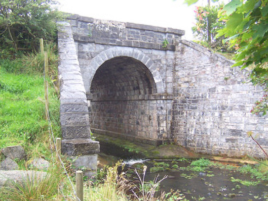 bridgebridge · 981 yd
 Enclosure in BallyoganEnclosure · 1215 yd
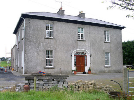 Oghil Housecountry house · 1299 yd
 Ballynahowna CastleCastle, tower house · 2.3 mi
 CastleCastle, motte · 2.4 mi
 Split RockNamed rock · 3.5 mi
 Wild Atlantic Way: Easky PierVisitor information · 4.2 mi
 Bunowna PointHeadland · 4.3 mi
 Jim Smith MemorialMemorial · 4.3 mi
 Wild Atlantic Way: Inishcrone PierVisitor information · 5.2 mi
 Grave of the Black PigArchaeological place · 5.3 mi