What is recorded here
Indicated on the OS 1:2500 plan (surveyed 1912-16) as an irregularly shaped enclosure. On inspection in December 1982 this was an area of scrubland and rock outcrop. The poorly preserved roughly circular enclosure (diam. c. 25m) was defined by a low wall of large set limestone blocks, double-faced at S (Wth 1.4m; max. H 0.8m). A partially collapsed modern field wall overlay the enclosing element. Current OSi aerial imagery (Google Earth 2018) indicates that area of the site is now a green in a fairly recently constructed housing estate and it appears that the enclosure has been levelled.
Compiled by: Olive Alcock
Date of upload: 14 June 2019
The monument record does not grant public access. Check the route and ask the landowner before entering private land.
- What survives
- Recorded monument
Places near here
 TobernanarmHoly well · 395 yd
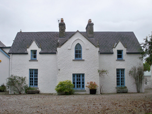 Roseville Cottagehouse · 505 yd
 Oranmore National Schoolschool · 563 yd
 Castle (in Ruins)Castle, tower house · 802 yd
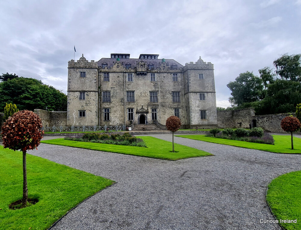 Moneyduff Castle (Site of)Castle, unclassified · 840 yd
 Oran FortFairy fort / earthen ringfort · 855 yd
 North WoodWood · 1.4 mi
 South WoodWood · 1.5 mi
 Leadmine HillMountain / peak · 2.1 mi
 Rabbit IslandIslet · 3.0 mi
 Ballyloughane BeachBeach / strand · 3.5 mi
 Ardfry PointHeadland · 3.5 mi