
What is recorded here
On a prominent ridge in rough pastureland. This irregularly shaped rath (c. 72.5m NW-SE; c. 45m NE-SW), in fair condition, is defined by a bank and external fosse. Several gaps in the bank appear to be modern. A field wall cuts across the monument at NW and S. A Man-made underground passage (GA095-103001-) lies in the NE quadrant of the interior.
Compiled by: Galway Archaeological Survey, UCG
Date of upload: 14 December 2017
The monument record does not grant public access. Check the route and ask the landowner before entering private land.
- What survives
- Recorded monument
Places near here
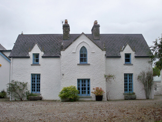 Roseville Cottagehouse · 359 yd
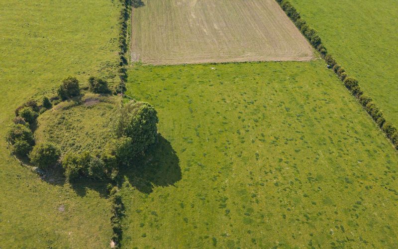 Fairy fort / stone ringfort in Rinville EastFairy fort / stone ringfort · 587 yd
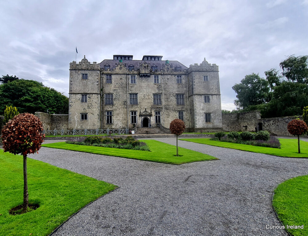 Moneyduff Castle (Site of)Castle, unclassified · 596 yd
 TobernanarmHoly well · 754 yd
 Rocklandshouse · 1099 yd
 Castle (in Ruins)Castle, tower house · 1616 yd
 North WoodWood · 1.4 mi
 South WoodWood · 1.5 mi
 Leadmine HillMountain / peak · 2.1 mi
 Rabbit IslandIslet · 3.3 mi
 Ardfry PointHeadland · 3.5 mi
 Goose IslandIslet · 3.7 mi
Other information
Photo: Credit not shown in the picture search · Rights wording not checked; contact us if this picture should be removed