
What is recorded here
In pasture, on a terrace overlooking the River Moy to N. This possible rath is indicated on the 1838 OS 6-inch map as an oval embanked area (40m N-S; 30m E-W) with a limekiln abutting the external face of the bank at SW. The remains consist of a grass-covered D-shaped area (40m NE-SW; 30m NW-SE) defined by a flat-bottomed fosse (Wth 6.6m; D 0.95m) along the SW and W arcs and by a scarp (H 1.9m) elsewhere. The scarp is low along the S arc (H 0.2m). There is a disused quarry on the E edge of this possible rath.
The above description is derived from the published 'Archaeological Inventory of County Sligo' compiled by Ursula Egan, Elizabeth Byrne, Mary Sleeman with Sheila Ronan and Connie Murphy (Dublin Stationery Office, 2005).
Date of upload: 18 January 2008
The monument record does not grant public access. Check the route and ask the landowner before entering private land.
- What survives
- Recorded monument
Places near here
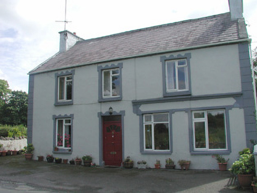 Banada Househouse · 209 yd
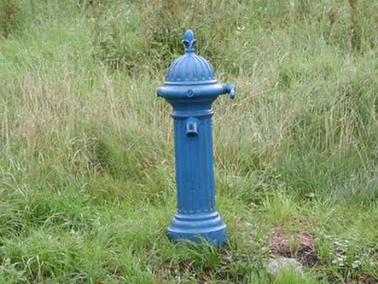 water pumpwater pump · 240 yd
 IndicatedEnclosure · 295 yd
 Castle (Site of)Castle, unclassified · 1.1 mi
 Enclosure in Tullycusheen BegEnclosure · 2.0 mi
 Ballyara Castle (in Ruins)Castle, unclassified · 2.4 mi
 Tawnyart WoodWood · 3.9 mi
 New WoodWood · 4.1 mi
 Mass RockNamed rock · 5.1 mi
 Lough Talt TrailVisitor information · 5.6 mi
 Muckelty HillMountain / peak · 5.7 mi
 Old Cave Burial GroundArchaeological place · 6.0 mi
Other information
Photo: Credit not shown in the picture search · Rights wording not checked; contact us if this picture should be removed