
What is recorded here
In rough, rush-grown damp pasture, in generally lowlying, poorly drained terrain. Slightly raised, oval area (30m N−S; 22m E−W) defined by remnants of a bank (Wth c. 2m), largely reduced to a scarp (ext. H 0.5-0.6m), and enclosed by a fosse which is evident as a shallow depression (Wth c. 2m; ext. D 0.3m). The bank retains a slight internal rise or lip in parts at S and at W−N. There are several eroded sections or gaps: at W (Wth 2m), at NNE (Wth c. 3m), at E (Wth c. 4m), at SE (c. 1.5m). The fosse is very shallow/poorly defined in parts at E and S but no clearly defined causeway is evident. The interior is level. In the NE quadrant, a low, upright stone (L 1.1m NW−SE; max. T 0.25m; H 0.45m) protrudes from the ground. It leans sharply to SW. Immediately adjacent on its W side, another stone (L 1.35m NW−SE; Wth 0.6m) lies concealed beneath the grass. The field is planted with forestry but an exclusion zone protects the enclosure.
Compiled by: Jane O'Shaughnessy
Date of upload: 9 December 2016
A local fairy fort (ringfort/rath); wider significance not recorded.
The monument record does not grant public access. Check the route and ask the landowner before entering private land.
- What survives
- Recorded monument
Places near here
 Tulach Oisin, Oisin's MoundArchaeological place · 1081 yd
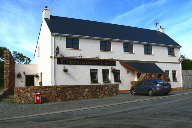 Fulacht fia in Ballyara OR FalduffFulacht fia · 1487 yd
 Castle (Site of)Castle, unclassified · 1683 yd
 Ballyara Castle (in Ruins)Castle, unclassified · 1.1 mi
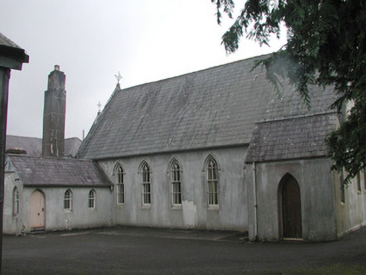 Banada Abbey Conventchurch/chapel · 2.0 mi
 Banada AbbeyReligious house, Augustinian friars · 2.1 mi
 Tawnyart WoodWood · 2.7 mi
 New WoodWood · 3.0 mi
 Muckelty HillMountain / peak · 3.9 mi
 Mass RockNamed rock · 4.2 mi
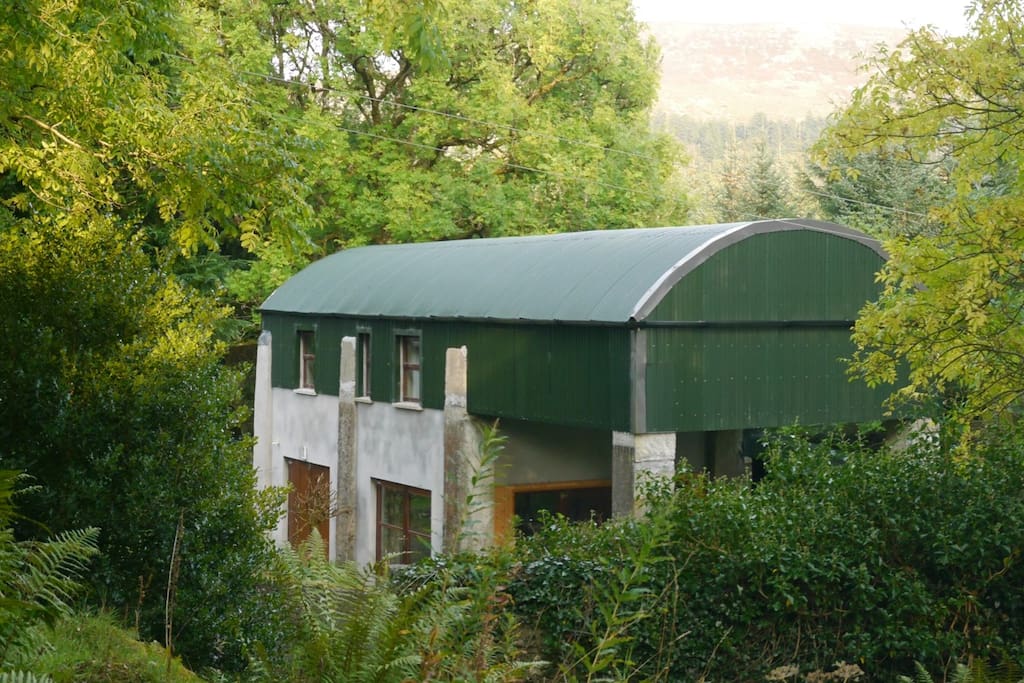 CloonacoolMountain / peak · 4.9 mi
 Lough Talt TrailVisitor information · 5.6 mi
Other information
Photo: Credit not shown in the picture search · Rights wording not checked; contact us if this picture should be removed