What is recorded here
A small circular enclosure is indicated at this location on the first edition of the OS maps. It was located in boggy pasture just N of Dromtine Lough. The area has recently been planted with trees and there is now no visible trace of the site.
The above description is derived from A. O'Sullivan and J. Sheehan (compilers), 'The Iveragh peninsula: an archaeological survey of South Kerry'. Cork University Press (1996), no. 810. In certain instances the entries have been revised and updated in the light of recent research.
Date of upload: 29 July 2013
This remains an important historical record, but the official description says the monument is no longer visible or has been destroyed. The monument record does not grant public access. Check the route and ask the landowner before entering private land.
- What survives
- No visible remains or recorded as destroyed
Places near here
 RoadRoad, road/trackway · 440 yd
 Field boundary in DromtineField boundary · 499 yd
 SheepfoldsEnclosure · 1743 yd
 Slievenashaska South TopMountain / peak · 1.4 mi
 SlievenashaskaMountain / peak · 1.5 mi
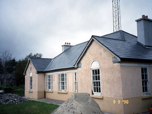 Sneem Garda Síochána Stationgarda station/constabulary barracks · 2.4 mi
 De Gaulle MemorialMonument · 2.5 mi
 Sneem Commemoration PlaqueMemorial · 2.6 mi
 GarinishIslet · 4.5 mi
 Coral BeachBeach / strand · 4.6 mi
 2Cliff · 5.0 mi
 Rossdohan IslandIsland · 5.4 mi