What is recorded here
Reference to a ringfort here (diam 33 yds), (Carrigan 1905, vol. 2, 233, 234). Modern hayshed built on site. Possible inner fosse with external bank at SE. No other visible surface remains.
Described by Carrigan as 'In the "Rath field", in Thawrla, there is a round rath 33 yds. in diameter, within which the Ordnance Map marks the site of an "Abbey in ruins". The foundations of a building (LA034-032001-), 40 ft. from east to west, by 21 ft. from north to south, are still distinclty traceable inside the ring. The tradition of a church or abbey having ever been here, has died out. There are two ancient draw-wells close to the rath; one is in the same field and is called the Closh; the other is in the next field to the douth, beside the fence seperating Thawlra farm from the Co. Kilkenny, and is called Lughany.' (Carrigan 1905, vol. 2, 233)
The above description is derived from the published 'Archaeological Inventory of County Laois' (Dublin Stationery Office, 1995) compiled by P. David Sweetman, Olive Alcock and Bernie Moran. In certain instances the entries have been revised and updated in the light of recent research.
Date of upload: 17 December 2007
The monument record does not grant public access. Check the route and ask the landowner before entering private land.
- What survives
- Recorded monument
Places near here
 Abbey (in ruins)Religious house, unclassified · 12 yd
 Enclosure in Oldtown (clanmallagh By.)Enclosure · 432 yd
 Enclosure in Scrub and GlenmacollaEnclosure · 477 yd
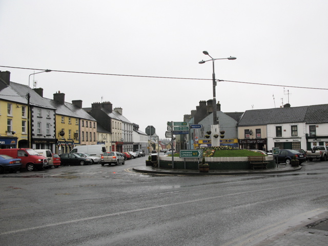 RathkilmurryChurch · 1068 yd
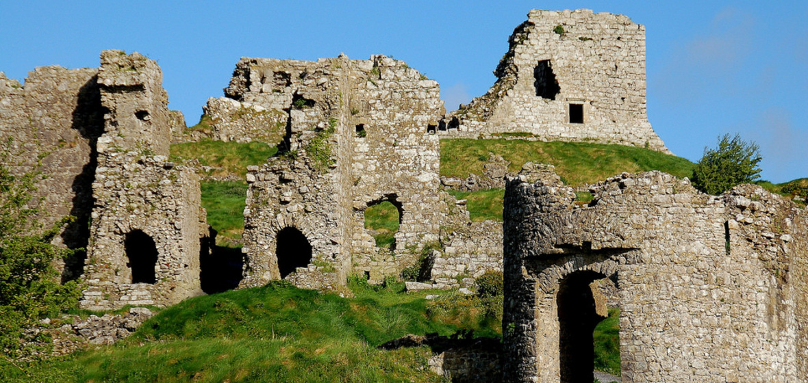 Castle (in Ruins)Castle, tower house · 1.3 mi
 Bawn in AghmacartBawn · 1.3 mi
 Street fieldArchaeological place · 1.4 mi
 Big WoodWood · 3.5 mi
 Cnoc SeanrathaMemorial · 4.0 mi
 Clomantagh HillMountain / peak · 4.4 mi
 DelaneyMemorial · 4.4 mi
 Anker's IslandIsland · 5.8 mi