What is recorded here
Indicated is a crannog in Oakport Lough, County Roscommon, Ireland. It appears as a partly submerged rectangular stone mound measuring twenty-one metres east-west and twelve metres north-south in shallow water one hundred and fifty metres from the southwest shore. The site lacks vegetation or visible timbers, while another crannog sits one hundred and sixty metres to the north-northeast.
In shallow water c. 150m from the SW shore of Oakport Lough, a subrectangular lake (dims. c. 700m NW-SE; c. 700m NE-SW) on the Boyle River. A partly submerged rectangular mound of stones (dims. 21m E-W; 12m N-S) with no vegetation or visible timbers. Crannog (RO006-062----) is c. 160m to the NNE.
Compiled by: Michael Moore
Date of upload: 24 August 2010
The monument record does not grant public access. Check the route and ask the landowner before entering private land.
- What survives
- Recorded monument
Places near here
 Cootehall Bridgebridge · 828 yd
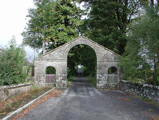 The Bawndemesne walls/gates/railings · 884 yd
 IndicatedBawn · 900 yd
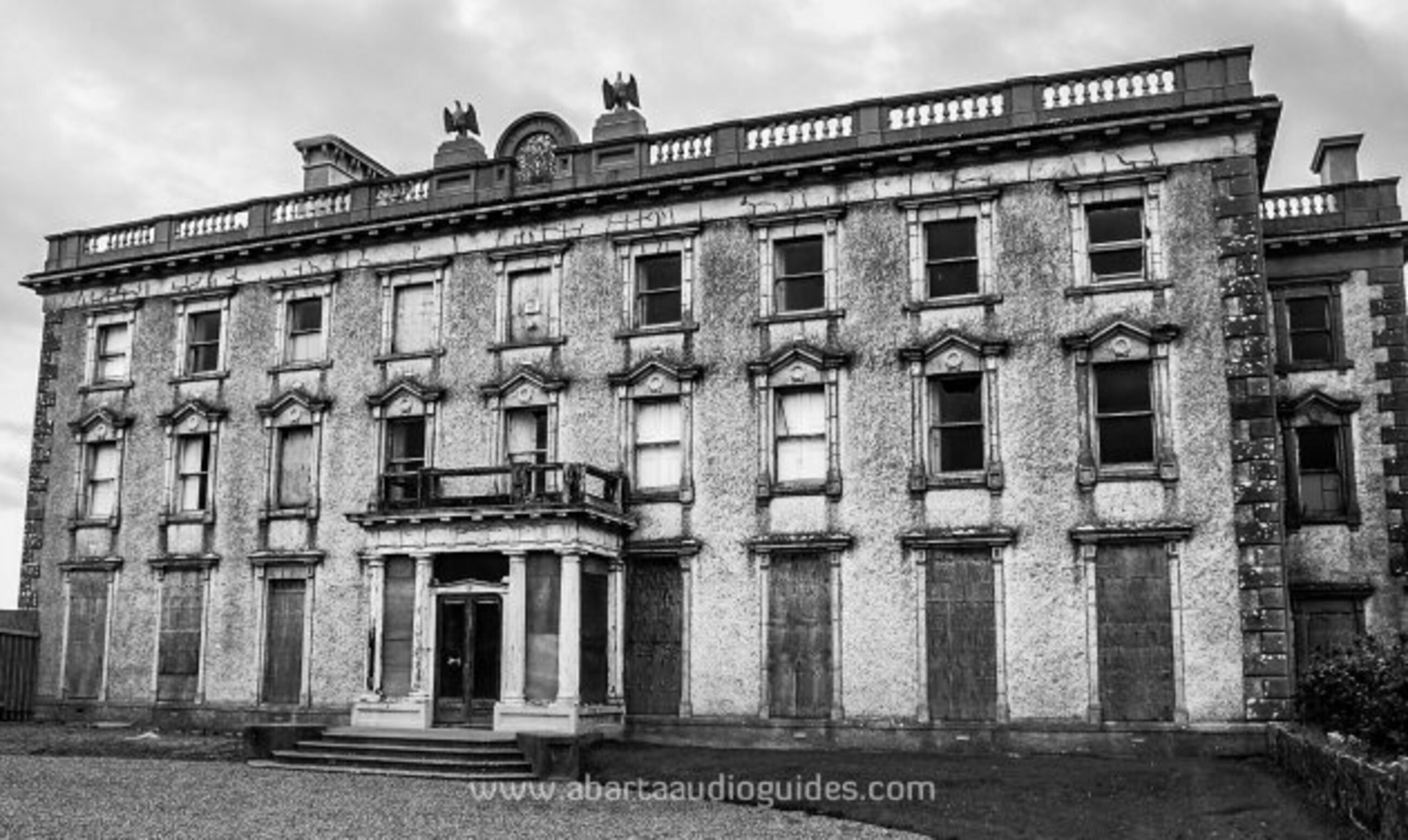 Enclosure in LisfarrellboyEnclosure · 1350 yd
 Embanked enclousreFairy fort / earthen ringfort · 1486 yd
 Hughestown WoodForest · 1.6 mi
 Errironagh WoodForest · 2.0 mi
 Longford HillMountain / peak · 2.1 mi
 Swallow IslandIslet · 2.8 mi
 Lough Key Forest ParkWood · 2.9 mi
 Ash IslandsIslet · 3.2 mi
 Erris BayBay · 3.5 mi